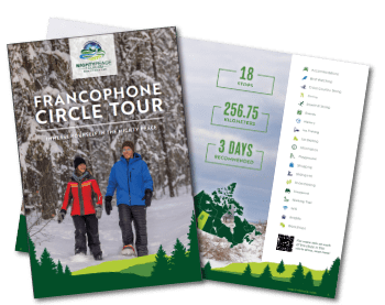
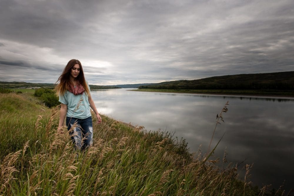
Summer Francophone Circle Tour
Immerse Yourself in the Mighty Peace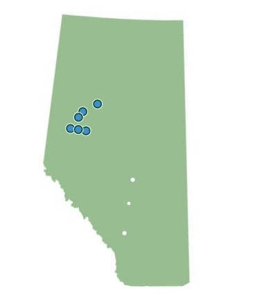
In the past, many French-Canadian families moved to the Peace Region from Quebec by train and quickly established themselves within dynamic francophone communities.
After settling in areas such as St. Isidore, Falher, Girouxville, and Marie Reine, they began to leave lasting, positive impacts on surrounding communities nearby.
Today, these areas have become some of the most culturally rich attractions within the Mighty Peace that visitors from far and wide seek out. Founded on livelihood, collaboration and tight knit values, the local francophone communities still reflect the vibrant history they were once built upon.
Keeping the culture alive, many towns and villages have created engaging, interactive and charming features that highlight the region’s lively past. With fun for the whole family to enjoy, now is the time to pack your bags and set out to experience what the Peace Region has to offer with this perfect Circle Tour Guide!
23
250+
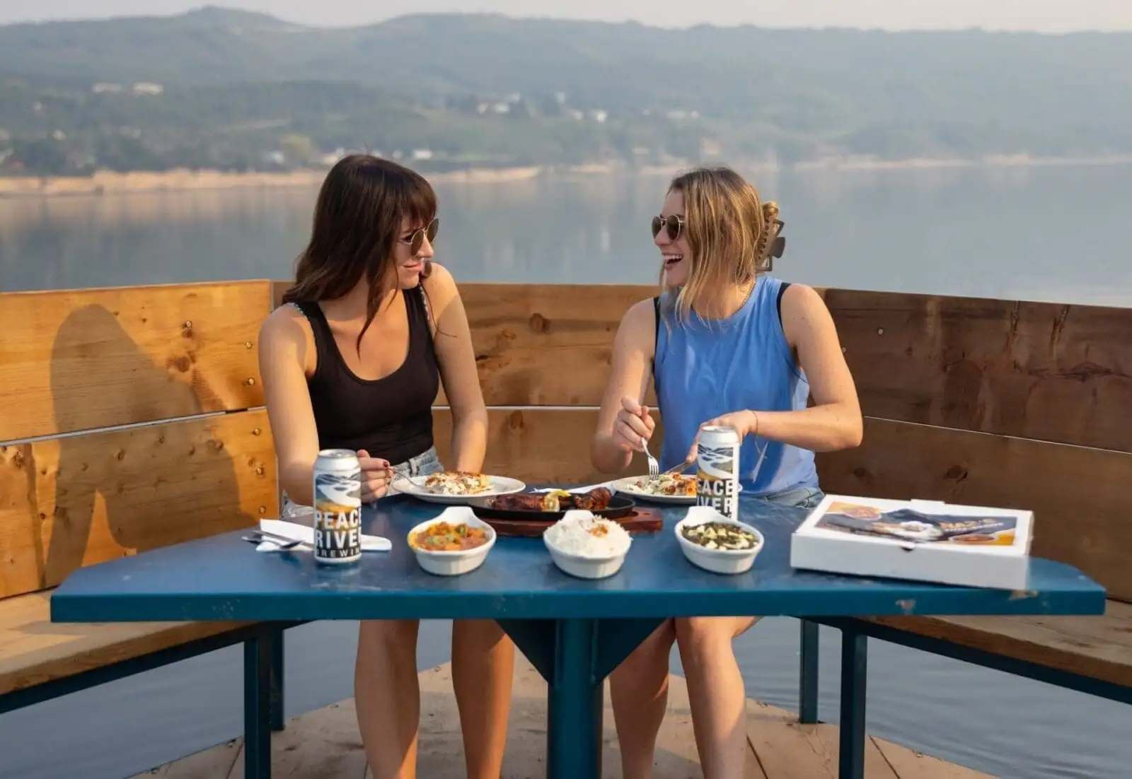
Start your tour in the beautiful Town of Peace River, where you can fill your tank, grab a hot meal, and stay in some of the comfiest accommodations.
Historically, Peace River was a vital resource for sustenance and transportation for the Beaver and Cree nation, as well as early Europeans and later became an important location for the Canadian fur trade industry in the late 1800’s. In the more recent past, the town played a key role in providing access to remote areas using ferry crossings or steamboat operations, with many float or bush plane companies setting up their headquarters there.
Home to the “12-Foot” Davis statue, Peace River is widely known for the unique story of Henry Fuller Davis, who made his name by striking rich during the gold rush. Davis claimed 12 feet of property and extracting $12,000 worth of gold and soon after travelled north to the Mighty Peace, where he began trading goods for furs and became a well-respected trader in the area.
Surrounded by rolling hills and idyllic views of the river, it’s sure to be a breathtaking beginning.
Town of Peace River
St. Isidore
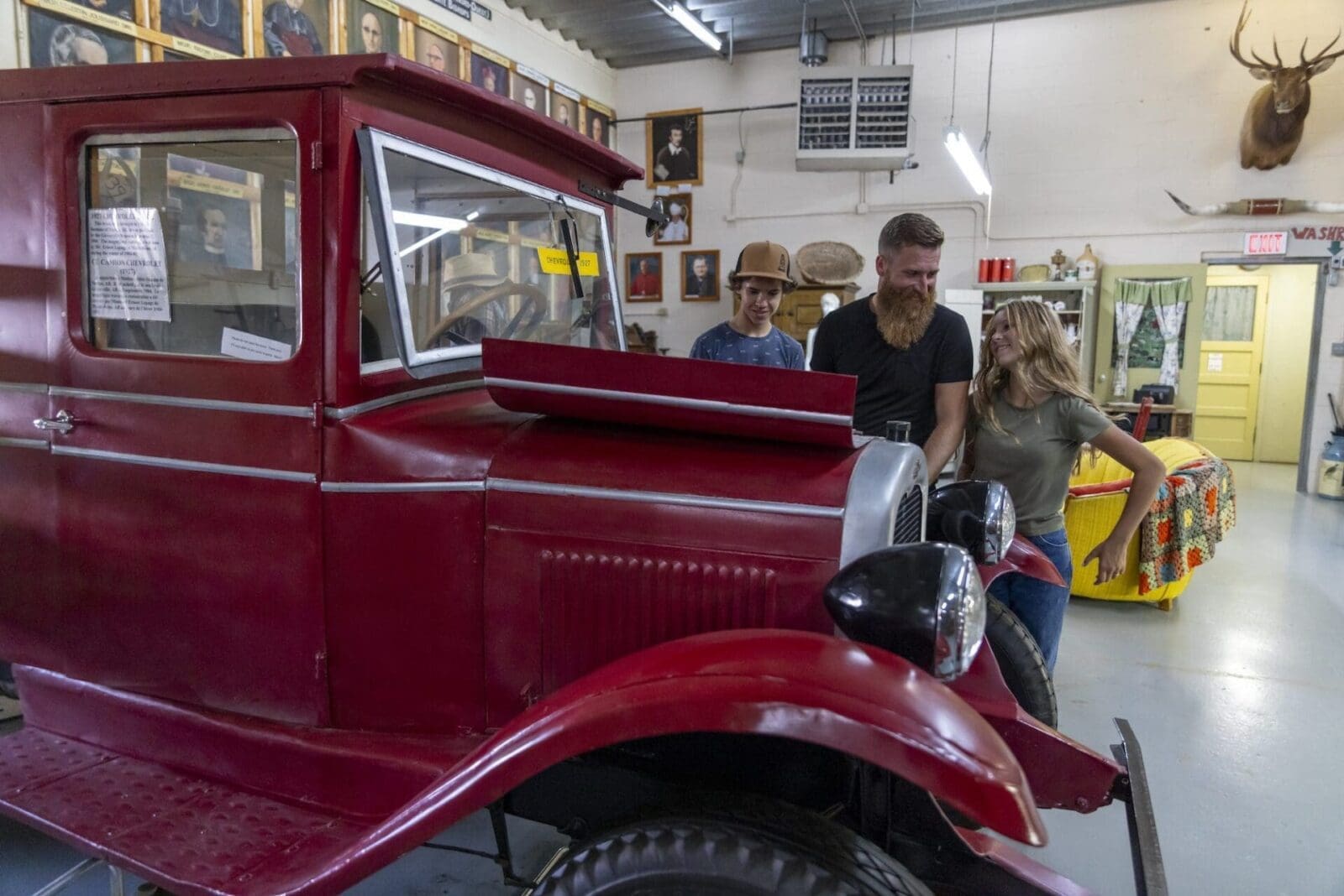
St. Isidore is a hamlet that is home to a thriving francophone community. After the second World War, multiple families took a train from Quebec to live and establish themselves within this area.
Artifacts from this time can be found in the community’s museum, and there are many opportunities to learn about its history and expand your knowledge. Hunt for the Mighty Peace Geocaches that have been placed in the area to be entered to win weekly and instant prizes!
Directions: From Peace River, head south on Highway 2, turn left on Highway 688, then turn south on Range Road 204.
1. St. Isidore Cultural Centre
16km from Peace River
Nestled in the hamlet of St. Isidore, this centre boasts a library and museum that depicts the francophone heritage through costumes, artifacts, and historical pictures. Visitors can admire or acquire traditional weaving done by the Tisserandes de St. Isidore (St. Isidore Weavers) or take part in francophone programming year-round. Guests can fuel up afterwards in BarBar, the cozy, onsite lounge.
Visitors also be able to enjoy and explore the St. Isidore Walking Trail, which is conveniently located nearby. This paved walking trail is perfect for walking, running, biking, strollers, and even wagons when your youngest family members need a break. Explore the area, take in some beautiful views, and get all the fresh air you need!
If you’re craving French cuisine during your visit, the St. Isidore Co-Op has a variety of French food and some of the best beer cheese in the area!

Northern Sunrise County
Northern Sunrise County is home to many attractions, businesses, and one-of-a-kind experiences. The history of the area can be traced back to Alexander Mackenzie’s journals, which depicted the area as, “a range of high land covered with white spruce, and soft birch, while the banks abound with alder and willow.” Later, many fur traders set up their posts at the confluence of the Smoky, Heart, and Peace River, thus creating a new economy and permanent settlement option.
With key development of transportation, settlers in the area used canoes and steamships, and later the railway, to freight goods and develop communities in the region. Entrenched in resources, the Northern Sunrise Country became home to many homesteads, which created a pathway for many successful communities that are seen today.
Don’t forget to search for the Mighty Peace Geocaches in the Northern Sunrise County area to be entered to win weekly and instant prizes!
2. Rendez-Vous RV Park
7.7km from St. Isidore
Stay at Rendez-Vous! This RV Park is fully serviced and open year-round, making it perfect for travellers in any season. With bilingual services, RV and cabin rentals, glamping domes, a tipi, and over 100 camping stalls, there’s room for plenty of people visiting the Peace Region. Each camping stall is equipped with a firepit, making it the perfect spot to stay warm during cool, summer nights, and gaze up at the dark sky in the Mighty Peace! For those wanting a more unique stay, their newest glamping domes provide visitors with one-of-a-kind accommodations that are sure to make for a magical getaway. There are also trails throughout the campground leading to Cecil Thompson Park that are perfect for snowshoers looking to get outside for some fresh air.
Hours of operation: Monday to Friday 9am-5pm, Saturday 10am-5pm
Directions: From St. Isidore, head north on Range Road 204, turn west onto Highway 688, then turn right onto Range Road 211, the park will be on your left.
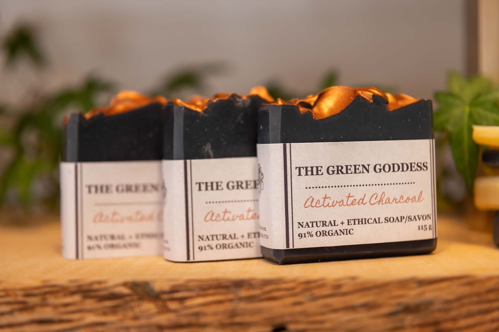
3. Green Goddess Workshop
30km from Rendez-Vous RV park
Step into a serene space at the Green Goddess headquarters and be prepared to be greeted with warm smiles, picturesque surroundings, and herbalism education. Owner, Sarah Keates, offers her spacious acreage for hands on workshops that empower guests to create their own medicines, teas, and tinctures. This is the perfect opportunity to take something home that was created in the Mighty Peace.
Hours of operation: Daily 10am – 6pm, please make reservations in advance.
Directions:Head south on Highway 2, turn left onto Township Road 820, then turn right onto Range Road 195.
4. Harmon Valley Park
11km from Green Goddess Workshop
This park is an outdoor lover’s dream. With 3km of trails and ideal conditions for hiking, visitors will be able to spend hours under the clear blue skies here. Be sure to bring your favourite snacks to enjoy around a campfire after you’ve taken in the park’s stunning scenery and be on the lookout for the many birds in the area, they may even stop by and say hello!
Directions: Head north on RR 195, turn right onto Township Road 820, take speed corner onto Range Road 194, proceed onto Township Road 822, then head north onto Range Road 192, then turn right onto Township Road 830 and follow to destination.

Village of Donnelly
Donnelly is a testament to the spirit of early French-Canadian homesteaders who settled in the region. These pioneers brought their rich Francophone culture, which continues to shape the village’s identity today.
Known for its warm hospitality and deep historical roots, Donnelly offers visitors a chance to connect with its agricultural heritage and vibrant Francophone traditions. From its charming streets to its stories of perseverance and community, the village reflects the enduring legacy of its early settlers.
Surrounded by farmland, Donnelly invites you to explore the agricultural roots that frame this cultural gem. Whether you're learning about the region’s Francophone history, enjoying outdoor activities, or simply soaking in the welcoming atmosphere, Donnelly provides an unforgettable glimpse into the heart of the Mighty Peace Region.
5. Smoky River Historical and Genealogical Society
73.1km from Harmon Valley Park
Whether passing through Donnelly or visiting for research, the Smoky River Historical and Genealogical Society offers a treasure trove of organized archives. Founded in 1984, it boasts Northern Alberta's most extensive open archive, including vital records, historical photos, community books, and newspapers. Originally focused on preserving Francophone heritage, the Society now celebrates the contributions of all pioneers and Indigenous peoples who shaped the region. Stop by to explore history with the help of passionate volunteers!
Directions: At the junction of Highway 49 and Highway 2 turn east on Highway 2.
McLennan
McLennan is now known as the “Bird Capital of Canada” and is appreciated and adored by outdoor enthusiasts. In the past, Indigenous people used the area for trapping and named the lake “Kimiwan”, the Cree word for rain. Later, it was labelled as a “Transportation Town” because of its strategic location along the railway and Highway 2.
In the early 1900’s, many homesteaders arrived in the area, and in 1914, it was named after Dr. John K. McLennan, who was heavily involved in the railway. The town’s first train station was built in 1915 when the railway finally reached McLennan, and it was soon established as a major railway centre in northwestern Alberta. Presently, the town has a thriving community that is deeply connected to its roots, that people from near and far travel to enjoy.
Mighty Peace Geocaches can be found in the Town of McLennan and locators will be able to enter their name into weekly and instant prizes!
6. McLennan Kimiwan Lake & Lake Shore Walking Trails
5km from Smoky River Historical and Genealogical Society
Make your way to McLennan to encounter wildlife, pristine strails and some of the best bird watching. Bring your snowshoes and binoculars to Kimiwan Lake for an active afternoon outside, then head over to the Lake Shore Walking trails for a hike in the fresh snow.
Hours of operation: Open 24 hours
Directions: Head west on Township Road 830, then turn south onto Range Road 192, turn west onto Township Road 822, proceed onto Range Road 194, take speed curve west to Township Road 820, then turn south onto Highway 2, turn left to stay on Highway 2, then right onto Range Road 195, then left onto Bousfield Avenue.
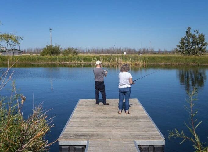
8. McLennan Fishing
Outdoor excursions are a must in McLennan! Canadian Wildlife Adventures offer all types of outfitting tours, including fishing and canoeing. Drop a line in at Kimiwan Lake Municipal Campground's Pond for some of the best fishing available and spend some extra time with the entire family. There is never a shortage of fun here, especially in the summer!
Phone: Canadian Wildlife Adventures can be reached at 780-536-7290.
8. Bluesky Lodging AirBNB
1.5km from Kimiwan Lake Shore Walking Trails
If you’re needing a place to recharge before your next destination, Bluesky Lodging offers a cozy, fully furnished, one bedroom home, that is steps away from Kimiwan Lake. With a large deck and barbecue, visitors can bask in the peace and quiet that the area has to offer. A nature lover’s paradise, guests will be able to take in views of the local wildlife and experience some of the best birdwatching right from the front door. Stay one night or make it a couple, this AirBNB will have you feeling well rested and energized for the rest of your trip!
Booking: Book online through AirBNB, or visit www.blueskyoutfitting.com or www.aylmerlakelodge.com for more information.
Emails: Can also be sent to mcneilkd@hotmail.com
Phone: You can call the hosts, Kevin McNeil at 780-536-7290, or Patti McNeil at 780-536-7298.
Directions: Turn left onto Fourth Street NE, and in 300m the destination is on your left.
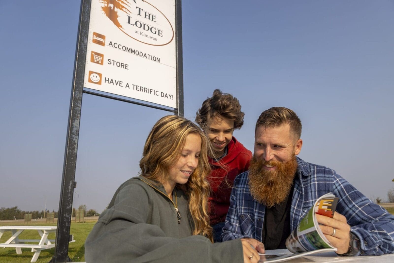
9. The Lodge at Kimiwan
1.9km from Bluesky Lodging AirBNB
Newly renovated with modern and rustic decor, the Lodge at Kimiwan has everything you need for an enjoyable stay. With beautiful rooms, helpful staff, and Grab n’ Go beverages and snacks, you’ll be able to explore McLennan during the day and fully relax in the evening.
Directions: Turn left onto Third Ave, then after 1.6km turn left and the destination is on your left.

Town of Falher
The Town of Falher is a small, but mighty area with plenty of things to do, see and experience. Known as the “Honey Capital of Canada”, visitors will fall in love with this energetic community after just one visit.
The history of Falher lies with Father Falher, a Franco-Albertan, who was accompanied by 12 other settlers from Quebec that established their roots in the area. After planting successful crops and the introduction of the railway, the area steadily grew into the town it is today. Home to the first Falher church at the St. Jean-Baptiste Mission, a Registered Historical Site, the town is filled with history that locals and visitors can relish in.
Each year in mid June, the town hosts an event called the Honey Festival. This annual summer fair offers a weekend of celebrations across town that includes live music, a pancake breakfast, a market, axe throwing, beer gardens, a Car Show and Shine, a lively parade, a baseball tournament, bouncy castles, as well as a petting zoo. Bring a tent or camper and stay for the full weekend and see why so many local and out of towners love this high energy event!
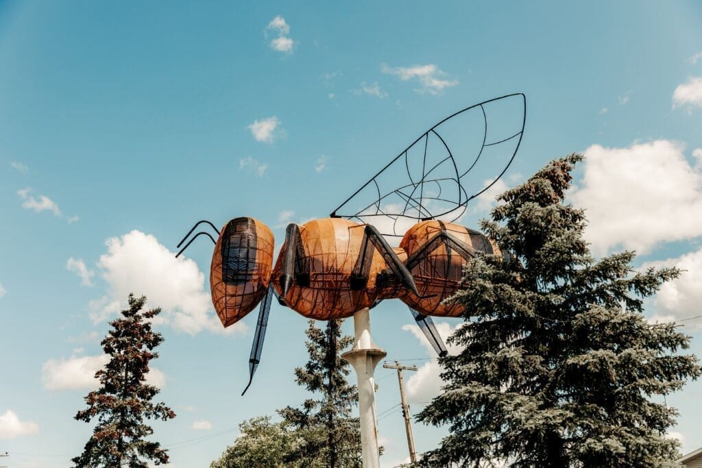
10. Falher World’s Largest Bee
19km from the Lodge at Kimiwan
Created in 1990, the world’s largest bee resides in the Town of Falher. Standing over 20 feet tall, it’s the perfect spot to snap a selfie and read up about the local history.
Open 24 hours
Get there: Turn left onto Third Ave, then after 18km turn right onto Rande Road 213A. Turn right onto Third Ave SE after 1.2km and the destination is on your right.
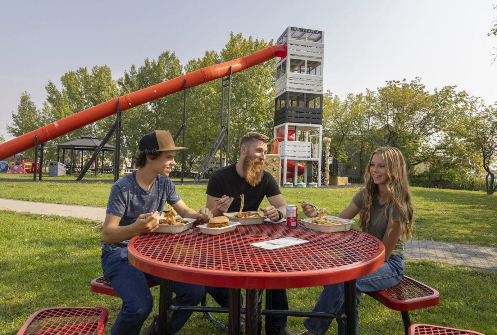
11. Honey Capital Park
450m from Falher World’s Largest Bee
Kids will “bee” happiest here! Falher’s Honey Capital Park is a bee themed playground that will appeal to children of all ages. With a 27-foot slide, four storey beehive structure, and toddler park, it’s the perfect spot to let the kids burn off some energy.
Hour of operation: 24 hours.
Directions:Head west on 3rd Avenue, then turn north onto Range Road 213A, then left onto Central Avenue and it’s located on the right.
12. Falher Outdoor Swimming Pool
250m from Honey Capital Park
Enjoy a refreshing dip at the Falher outdoor pool! This fresh air facility provides enjoyment to all ages and is perfect for those hot, summer days. Cool down after a great day of exploring and enjoy some fun in the sun.
Directions: Turn left onto Central Ave and after 200m the destination is on the right.
13. Stay at the Falher Municipal Campground
2.2km from Falher Outdoor Pool
This cozy campground is home to 30 powered sites, as well as washrooms and showers. With free firewood and the perfect location to enjoy a beautiful summer night outdoors, you’ll be able to make plenty of memorable moments here. This family friendly campground has something for everyone to enjoy and is within walking distance of the Honey Capital Park and Outdoor Pool.
Hours: Monday to Saturday 10:30am – 3am, Sunday 1pm – 11pm
Directions: Turn left onto First Street, then right onto Second Ave. Then left onto Main Street, after 1.2km turn right and the campground is 500m behind Bumper to Bumper.
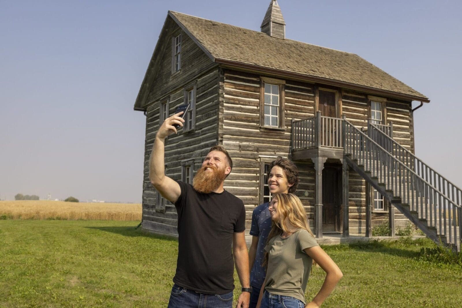
14. St. Jean-Baptise Mission
2.6km from Falher Municipal Campground
The first Falher Church at the St. Jean-Baptiste Mission is now a Registered Historical Site. It was restored to its original appearance and is open for public viewing.
St. Jean Baptiste Roman Catholic Mission Church is a two and one half-storey finished log building situated on approximately 64 hectares of land roughly 4 kilometres southeast of Falher. The church features full dovetail notching, a gable roof, and a small cupola crowned with a cross.
Directions: Head towards AB-49 E, once on the highway turn right onto Range Road 213.
Hamlet of Watino
The Hamlet of Watino is located within Birch Hills County. Established on the banks of the Smoky River, this hamlet earned the name Watino in 1921, which is derived from the Cree word, “Wa-ye-te-naw”, which means “valley”.
When the railway constructed a railway bridge in 1915, Watino was one of the two hamlets to spring up on either side of the river. It eventually grew to contain a school, two grocery stores, a post office, grain elevator, restaurant, community hall, skating rink and railway station. Now, it is much smaller, but still contains residents who are passionate about the area and who strive to keep it alive.
15. Watino Boat Launch and Campground
28km from St. Jean-Baptise Mission
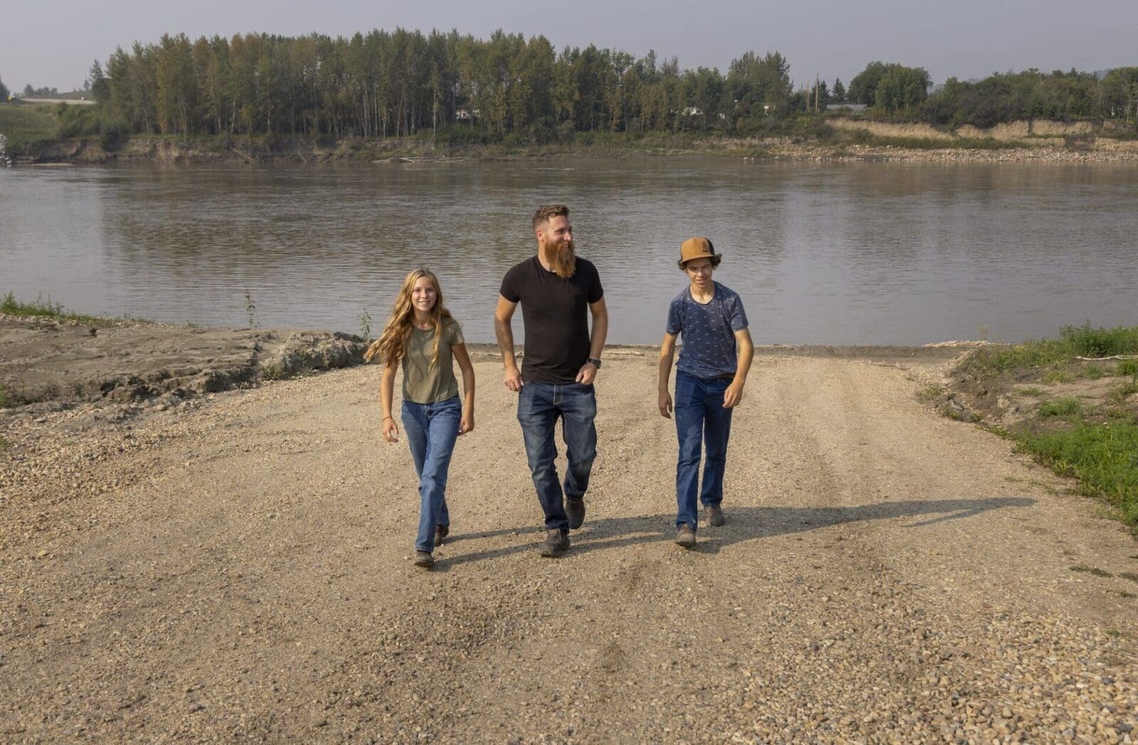
If you’re wanting to access the Smoky River, then a stop at the Watino Boat Launch and Campground is a must. With a gravel boat launch and plenty of space to park, you can choose to spend a day here exploring the river or keep the good times rolling by spending a few nights at the campground. You can fish for walleye, burbot, whitefish, northern pike and trout, or hike the many nearby trails and catch a glimpse of local wildlife.
Check hours of operation for Valley Bee Café on their website.
Directions: Turn left onto AB-49 and after 28km the destination is on your right just before the Smoky River Bridge.
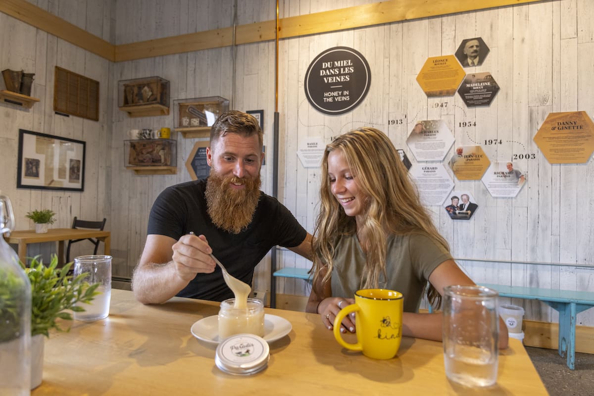
16. Paradis Valley Honey
1.3km from Watino Boat Launch and Campground
This buzzing attraction is home to the Valley Bee Café where you can learn all about the captivating world of bees. With honey inspired food and drinks, it’s the perfect spot to replenish after a busy day of exploring. Paradis Valley Honey also makes their own honey derived products that are made in the Mighty Peace and available to purchase online at www.paradisvalleyhoney.com.
Check hours of operation for Valley Bee Café on their website.
Directions: Turn left onto Range Road 242, then left onto Township Road 780 and the destination is on your right.

Village of Girouxville
The Village of Girouxville is a tight knit francophone community filled with tradition and friendly locals.
Originally known as Fowler, the name given by the railway, Girouxville eventually received its current name in 1915 after one its first settlers with the last name of Giroux. With a history built on pioneers and missionaries, Girouxville is known as a hub for fur trade, transportation, hunting, and trapping. Today, people of all ages can enjoy what Girouxville has to offer and can appreciate the village’s charm and attraction!
17. Girouxville Museum
23km from Paradis Valley Honey
With over 6,000 artifacts, Girouxville’s Museum showcases the interesting history of the pioneers and missionaries who settled in the region. Visitors can browse artifacts that depict the natural history, fur trade, transportation, hunting, education and so much more from the area’s past.
Hours of operation: Monday to Friday 10am – 4pm during the summer months. Appointments can be made during the off season.
Directions: Turn left onto Highway 49, then after 20km turn left onto Highway 744 and after 3.5km the destination is on your right.
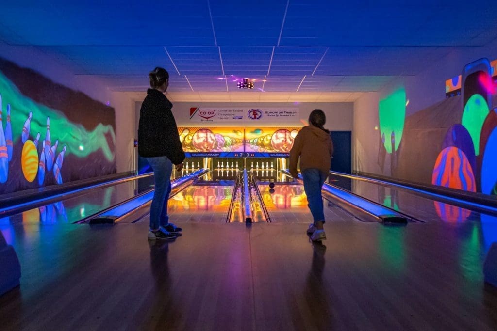
18. Girouxville Bowling Alley
100m from Girouxville Museum
Smoky Lanes Bowling Alley offers 5 pin bowling and a restaurant to keep players fed and happy. Ideal for the entire family, this entertaining pitstop is a great way to blow off some steam and enjoy quality time with your favourite people.
Hours of operation: Saturday to Sunday 12pm – 5pm, Tuesday 1:30pm – 3:30pm
Directions: Head north for 100m, located on the right.
Hamlet of Marie Reine
The Hamlet of Marie Reine is rich with French Canadian history and opportunities to enjoy the great outdoors during all seasons.
Receiving its start between 1949 and 1952 when settlers migrated from Quebec and France, this community was established into 20-acre strips bordering Highway 744 by L’abbe Pierre Paul Pothier.
Presently, the area is now enjoyed by nature enthusiasts, locals, and tourists, who can appreciate the appealing landscapes and the thriving local honey business.
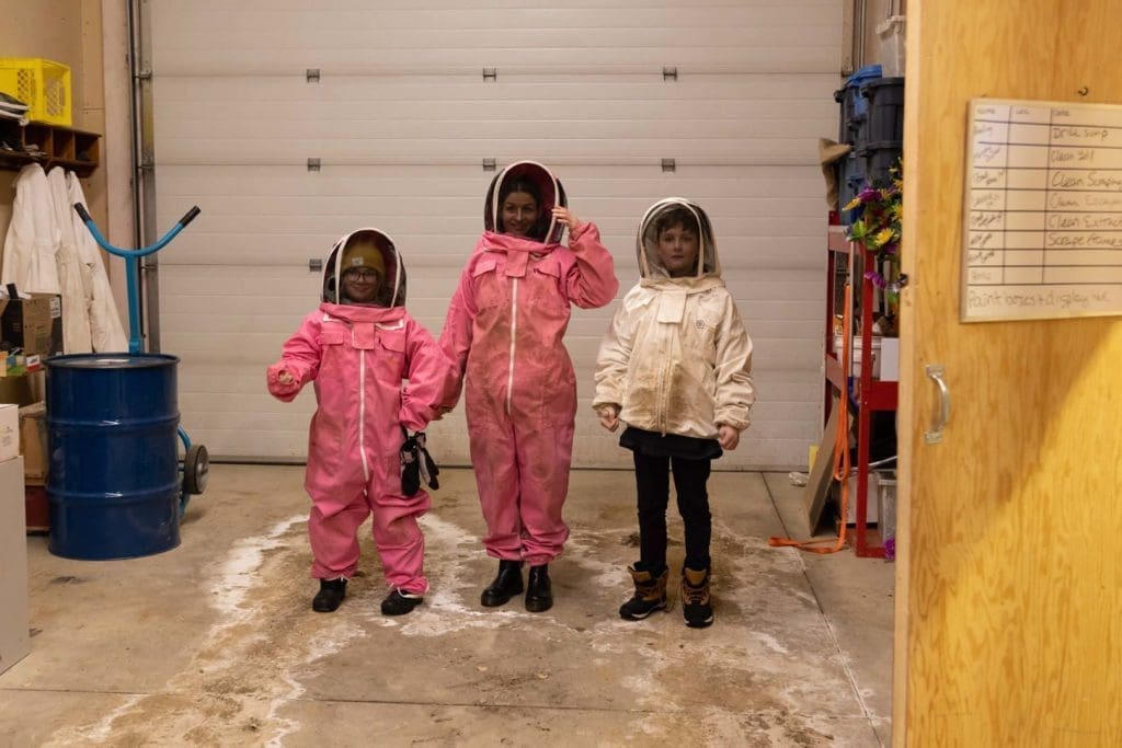
19. Simoneau Honey
40km from Girouxville
One of the sweetest stops, Simoneau Honey will have your tastebuds bursting with happiness! With locally harvested honey, they offer plain honey, creamed honey, naturally flavored honeys (with spices added), bees wax candles, bulk wax, and honey stix. Picking your favourite honey treat will be the hardest part during this visit!
Directions: Head east on 52nd Avenue, then turn north onto 50th Street, which will turn into Highway 744 for 39km, destination is on the left.
20. Marie Reine Playground & Walking Trails
1km from Simoneau Honey
Parents will love this playground and accompanying trails as much as the kids! This is the perfect opportunity to get out of the vehicle, stretch your legs and fill your lungs with fresh air as you wrap up your tour through the Mighty Peace.
Hours of operation: 24 hours
Direction: Head south on Highway 744, location is on the right.
Last Stop: The Town of Peace River
22.6km from Marie Reine
Finishing up the Circle Tour, travellers will find their way back to Peace River to conclude their experience through many of Mighty Peace’s hidden, and well-known gems. Order a delectable meal, put your feet up at one of the many hotels, and get ready to plan out your next adventure!
Get there: Head north on Highway 744 for 22.6km
See the Winter Edition of this Tour
Winter Francophone Circle Tour


