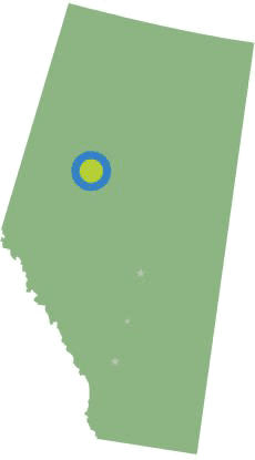
The Great Northern Mighty Frontier Circle Tour
This Circle Tour is the perfect trip for nature-loving explorers of all ages, from rivers to lakes and hiking trails to lookout points. Can it get much better than starting your day as you watch the sun cast its beams down on the Peace River Valley followed by having a ferry ride, exploring the Peace River and some gorgeous lakes and ponds?
It really does get better because there is so much to see and do with something for everyone on this magical tour.
619.65

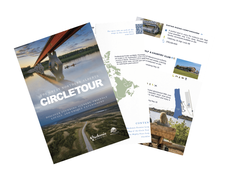
Get the Guide & Start Exploring
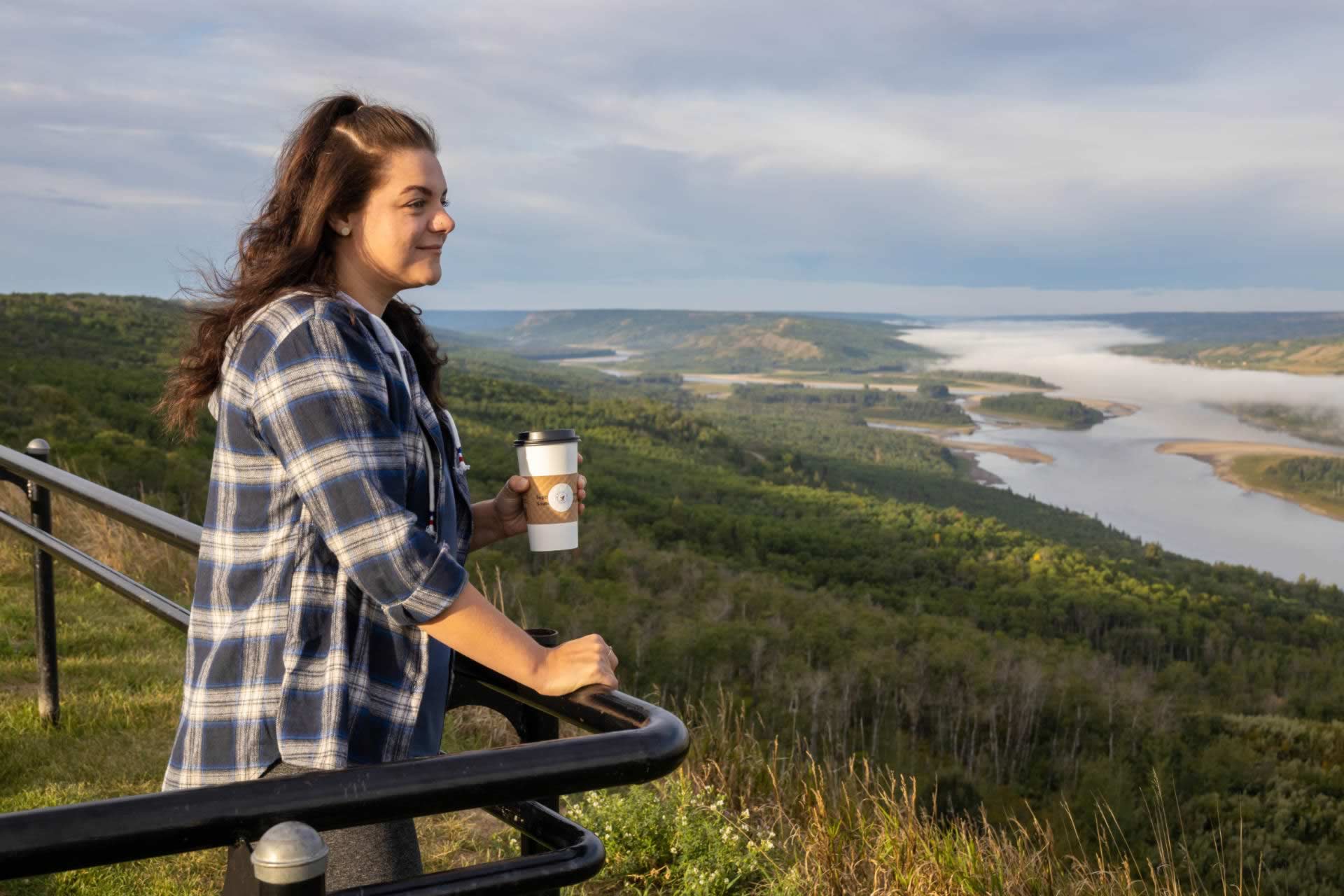
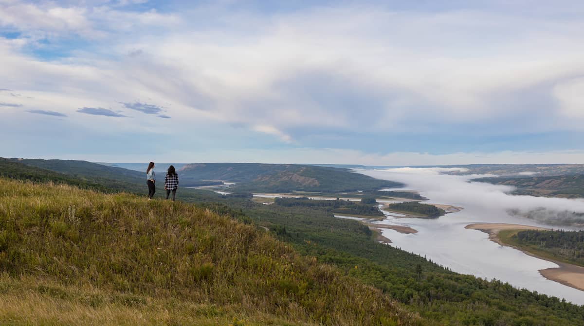
1. Judah Hill
Peace River to Judah Hill - 1.1km
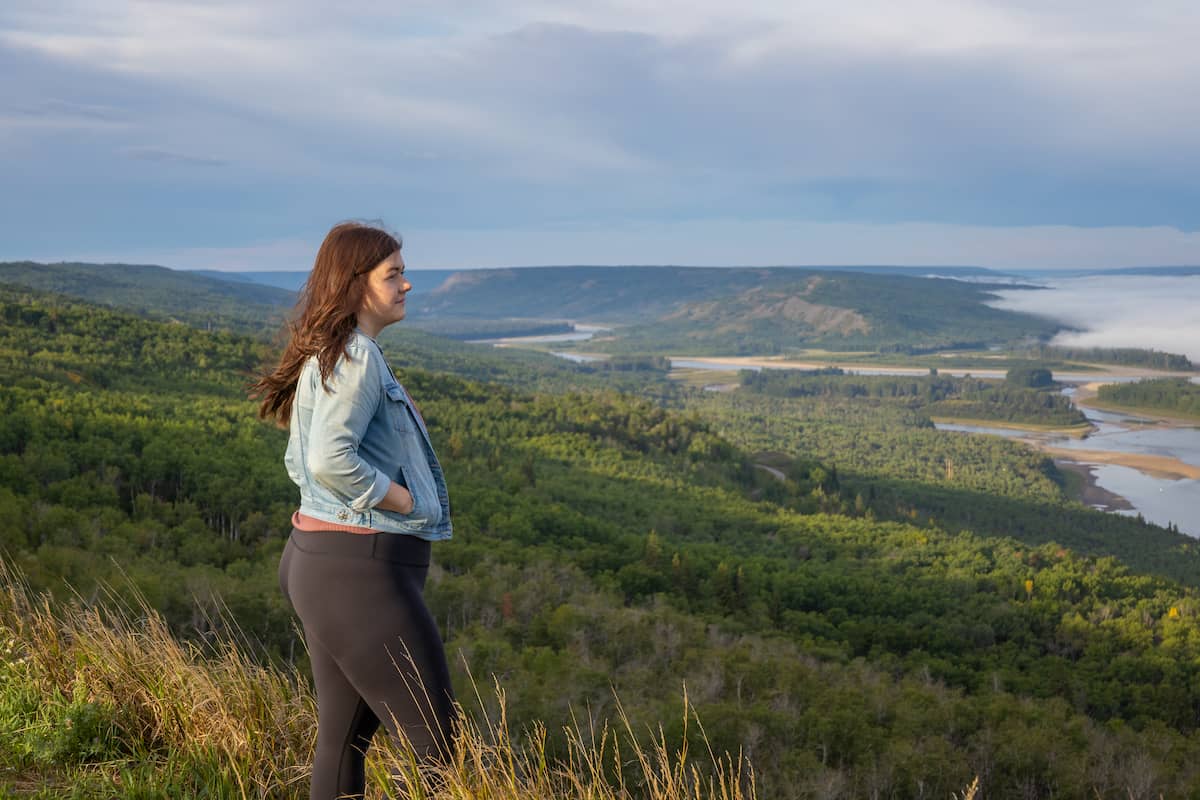
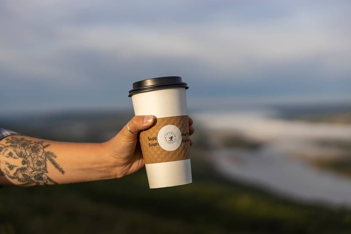
Judah Hill provides the perfect starting point for your circle tour trip. Be sure to grab a coffee and a snack at J's Java Domain before heading up the hill because once you arrive, you won't want to leave. Judah Hill provides stunning views of the Land of the Mighty Peace and leads to one of Peace River's most incredible and historical lookout points – Sagitawa Lookout.
Get There: Drive down Main Street (100 Street) to the bottom of Main, then turn left onto 102 Avenue. Follow this to 102 Avenue, turn right and cross the Heart River bridge. Turn left onto 104 Avenue and follow the Hwy 744 signs.
2. Sagitawa Lookout
Judah Hill to Sagitawa Lookout - 2.4km
Stunning 360-degree views of the Town of Peace River and the joining of the Peace, Hart and Smoky Rivers make the Sagitawa Lookout, one of Peace River's historical treasures. Sagitawa is a Cree word that means "where rivers meet". But it's more than a lookout point; the area has historical information, picnic tables, day-use areas with plenty of parking and your furry family members are welcome to come along too.
Get there: Drive down Main Street ( 100 Street) to the bottom of Main, then turn left onto 102 Avenue. Follow this to 102 Avenue, turn right and cross the Heart River bridge. Turn left onto 104 Avenue and follow the Hwy 744 signs. The Lookout is located up the "Judah Hill." Watch for "lookout" signage.
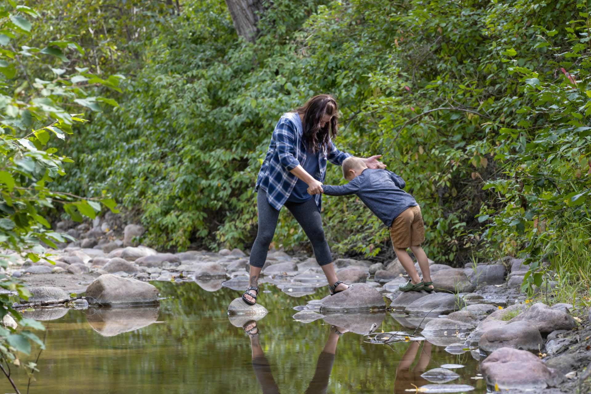
3. Murphy's Flats
Sagitawa to Murphy Flats - 21.3km
There's no shortage of things to do and see at Murphy's Flats. This gorgeous newly developed area runs alongside the Smoky River and offers sandy and rocky beach areas (depending on water levels). It's absolutely perfect for fishing, kayaking, canoeing and rock-skipping.
If you are looking to keep dry, no problem – a hop, skip and a jump away is the Peace River Wildland Provincial Park. Here you can hike, bike, bird-watch and take in the natural beauty of this lush forest. Bring some hot dogs and marshmallows along if you like – they have fire pits, free firewood and picnic tables too.
Get There: To access this area from Highway 744 near Marie Reine, turn west onto TWP RD 822, then turn left on RGE RD 222.5 and turn right onto 821.5 or alternately turn off Highway 744 west onto TWP RD 820, then turn right on RGE RD 222 and turn right onto 821.5.
4.Nampa Sunrise Cafe
Murphy Flats to Farmers Restaurant - 20.5km
Breakfast, lunch, or dinner – this is truly a hidden gem in Northern Sunrise County. Located in the heart of the Village of Nampa, this quaint family-friendly restaurant has delicious food, specialty coffee and tea as well as superb service and the coolest décor. They've used a ton of unique local pieces to furnish this relaxed, homey, yet modern, must-go-to eatery. The food and atmosphere are second to none and right next door is the Nampa and District Museum.
Get There: Located on the north side of Nampa just east of the highway at 9902-102 Avenue.
5. Nampa and District Museum
Farmers Restaurant and the Nampa Museum (Located in the same building) - 0km
If you want to transport yourself back in time, the Nampa and District Museum is a wonderful place to stop for a memorable visit. Indigenous and settler history as well as the natural history of the region including the history of the area’s oil and gas development are featured through a collection of fascinating artifacts and objects as well as machinery items and several preserved buildings. You can't miss getting your photo with the CN train caboose, Church or original water tank. They even have a gift shop that showcases the work of talented local artists.
Hours of operation
June 1st to August 31st – 10 am to 5 pm / 7 days a week
September 1st to May 31st – 10 am to 5 pm / Monday to Friday
Admission
Until Spring 2022, admission to the museum is by donation.
Regular admission fees: Family $12, Adults $5, Students $2, Children under 6 Free
Get There: Located on the north side of Nampa just east of the highway at 9902-102 Avenue.
Places to Stay:
Mill Brown Park
Places to Eat:
Paradis Valley Honey
Farmers Restaurant
Places to Golf:
Heart River Golf Course
6. World's Largest Bee
Nampa and District Museum to Honey Capital Park - 41.1km
Did you know that Falher is home to the World’s Largest Bee statue? This stunning structure was created in 1990 by a local welder, Richard Ethier and sits proudly on display 20 feet in the air in the heart of downtown Falher. Be sure to take a selfie with the bee and read up on the historical information displayed on site.
Get there: Falher is located 37 km north of Nampa on Highway 2.
7. Honey Capital Park
Worlds Largest Bee to Honey Capital Park - 550m
The kids will be happy for hours at the Honey Capital Park! This bee themed fun haven for kids has a water splash park (sponsored by Richardson), a 27-foot slide, a four-story beehive structure to play on, a toddler park, and a soccer net. It’s perfect for a playdate, picnic or family get-together.
Get there: Honey Capital Park is located in Falher, just off Mainstreet next door to the Falher Regional Recreation Complex.
8. Paradis Valley Honey Valley Bee Café
Honey Capital Park to Paradis Valley Honey Valley Bee Café - 30.7km
This absolute gem is the perfect place to visit for your next family adventure! Paradis Valley Honey is a multi-generational family business creating Grade A raw honey and pollen and is home to the Valley Bee Café. Visitors can enjoy scrumptious honey-inspired food and drink, check out their wide variety of honey-inspired all-natural products, and get up close and personal with bees in a safe way with their virtual reality beekeeping experience. This unique cafe is more than an excellent place to gather, eat and shop; it is a great place to learn. They are open Tuesday to Saturday from 10-5 pm.
Get there:
From Falher, head east on Highway 49 for 28kms, turn right into Watino and take your first left and then a second left turn. Once in Watino, follow signs for Valley Bee Café or, better yet, put Paradis Valley Honey in google maps, and it will take you right there.
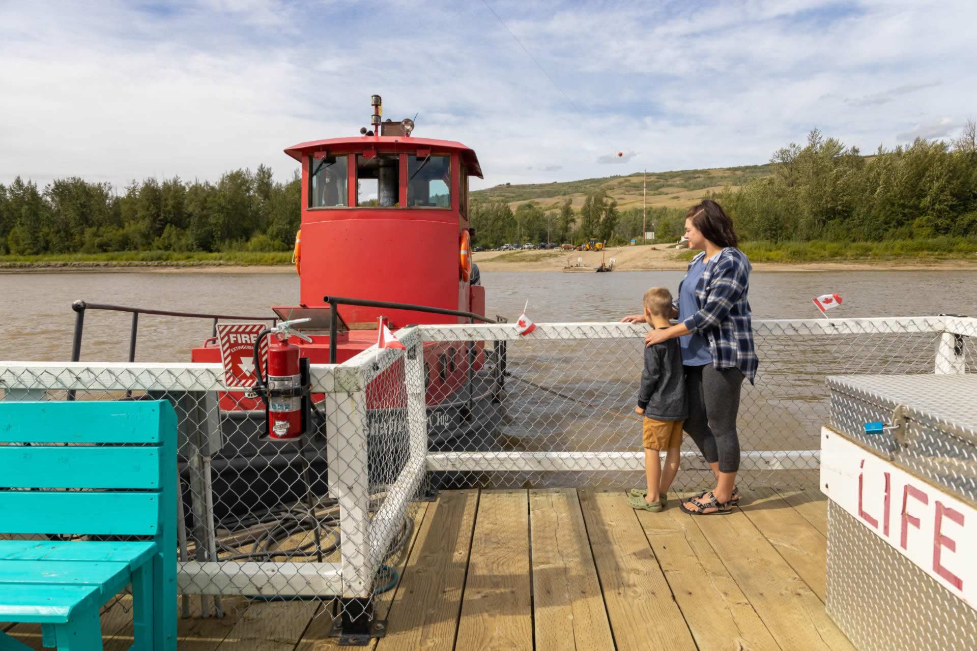
9. Shaftesbury Ferry
Paradis Valley Honey Valley Bee Café to the Shaftesbury Ferry - 52.4km
Enjoy the spectacular views and fresh river breeze on the fenced ferry deck that takes you on a 325-meter journey across the Peace River.
With only six ferries operated by Alberta Transportation in the entire province, crossing the Peace River by boat is truly a unique experience. You can enjoy the five-minute ride across the river from the ferry deck, or you can stay in your vehicle. Either way, there is no charge for the ferry.
If you want to explore off the ferry, Tangent Park Campground can be found on the east side of the river. The west side of the river offers space to enjoy a peaceful walk along the shoreline collecting rocks and watching for wildlife.
Hours of operation
May to the end of October: 7 am – 11 pm daily
Visit 511 Alberta for the most recent information about ferry operations.
Get There: From Nampa, take highway 2 south and turn onto Highway 49 headed west. From Peace River, take highway 684 headed south, and from Grimshaw head north and take highway 684 to the east.
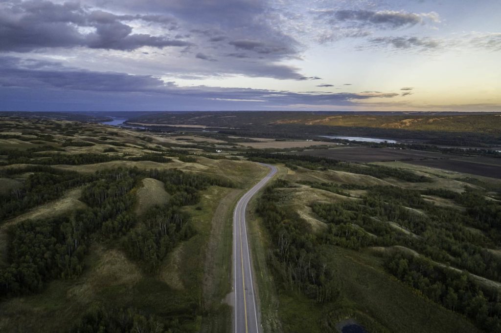
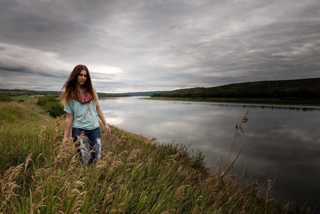
10. Shaftesbury Trail
Ferry to Shaftesbury Trail - .5km
Stunning views, historical points, open skies and the opportunities to fish, hike, camp, pick berries as well as pick up some fresh produce at Bridgeview Market Gardens, makes Shaftsbury Trail more than just a scenic drive.
There is so much to see and do on the 26 km long paved trail, so take your time and be sure to take it all in. The market garden, Fort Fork, MacKenzie Cairn, St. Augustine's Mission and Strong Creek are some must-see stops along the way.
This trail itself has rich significance and history as this is the same route that First Nations and Métis fur traders used many years ago.
Get There: From Nampa, take highway 2 south and turn onto Highway 49, cross the ferry, turn north on Highway 740 and head straight north on Shaftsbury Trail (Highway 684). From Peace River, take highway 684 headed south and from Grimshaw, head north and take highway 684 to the east.
Places to Stay:
Peace River Cabins & Outdoors
Guided Tours:
Peace River Cabins & Outdoors
11. Brick’s Hill
Shaftesbury Trail to Bricks Hill - 7.9km
Watch the skies and the valley open up while taking a drive on Brick's Hill, located only a few km north of the Bridgeview Market Gardens. Whether you are driving up or down the hill, you will be in awe of the open hills and layered views of different agriculture and landscapes rich with the history of the Cree and Beaver First Nations.
Get There: From the Shaftsbury Ferry, head north on Highway 740 and turn onto highway 686, heading west up the hill. From Grimshaw, head south and then turn east onto Highway 684, and from Peace River, follow 684 south and be sure to turn where highway 684 heads west.
12. Mackenzie Cairn
Bricks Hill to Mackenzie Cairn - 5.7km
This roadside lookout point offers so much beauty and history. It was over 200 years ago (1793) when the famous North American explorer spent a winter here before beginning his journey to the Pacific and was the home of the Fort Fork Trading Post. How awesome to know that this slice of the Peace boasts so much history!
Don't worry, you will learn all about it on the information kiosk that includes a photo of Sir Alexander Mackenzie, detailed maps, drawings and information. Be sure to take a walk around the area and if saskatoons are in season, bring a bucket – there's a ton here.
Get There: From the Shaftsbury Ferry, head north on Highway 740 and stay straight on highway 686. From Grimshaw, head south and turn east onto Highway 684 and turn north. From Peace River, follow 684 south. Watch for signage.
13. Strong Creek
Mackenzie Cairn to Strong Creek - 4.3km
There's so much to explore here!
You can camp, fish, hike, picnic and enjoy the playground while surrounded by fresh air and the magical sounds of the Peace River and Strong Creek flowing. Best of all, you can do it all for free.
This is also a popular entry point for people who are kayaking, paddleboarding or tubing down the river. Not to mention, this is a great place to have a birthday party or gathering – they have a kitchen shelter located right beside the playground and the baseball/softball backstop and field.
Get There: From the Shaftsbury Ferry, head north on Highway 740 and stay straight on highway 686. From Grimshaw, head south and then turn east onto Highway 684 and turn north. From Peace River, follow 684 south. Watch for signage.
Places to Stay:
Strong Creek, Chateau Nova Peace River, Western Budget Motel, Sawridge Inn & Conference Centre, Wild Rose Guest House
Place to Eat:
Board n Barrel, Peace River Brewing, Billie's Cones, J's Java Domain, Chateau Nova Peace River, Sawridge Inn & Conference Centre
14. Wilderness Park
Strong Creek to Wilderness Park - 24.7km
This hidden gem tucked away between Peace River and Grimshaw really has it all! You can try your luck catching a rainbow trout or grayling in their fantastic man-made and stocked pond and then take a bike ride or walk on the trails while hearing the sound of birds joyfully singing. Enjoy the sweet fragrances the trees and wildflowers bring while having a picnic in an open space or at one of their picnic tables in day-use areas.
The park also has fire pits, outhouses, and you can quickly launch your kayak or paddleboard from one of the docks. Note that there is no swimming at the pond, but you will have more than enough to see and do at this incredible park. The park closes at 11 pm daily.
Get There: From Peace River, take Highway 2 and turn left on Range Road 233. From Grimshaw, take Roma drive and turn north on Range Road 233. Watch for signage.
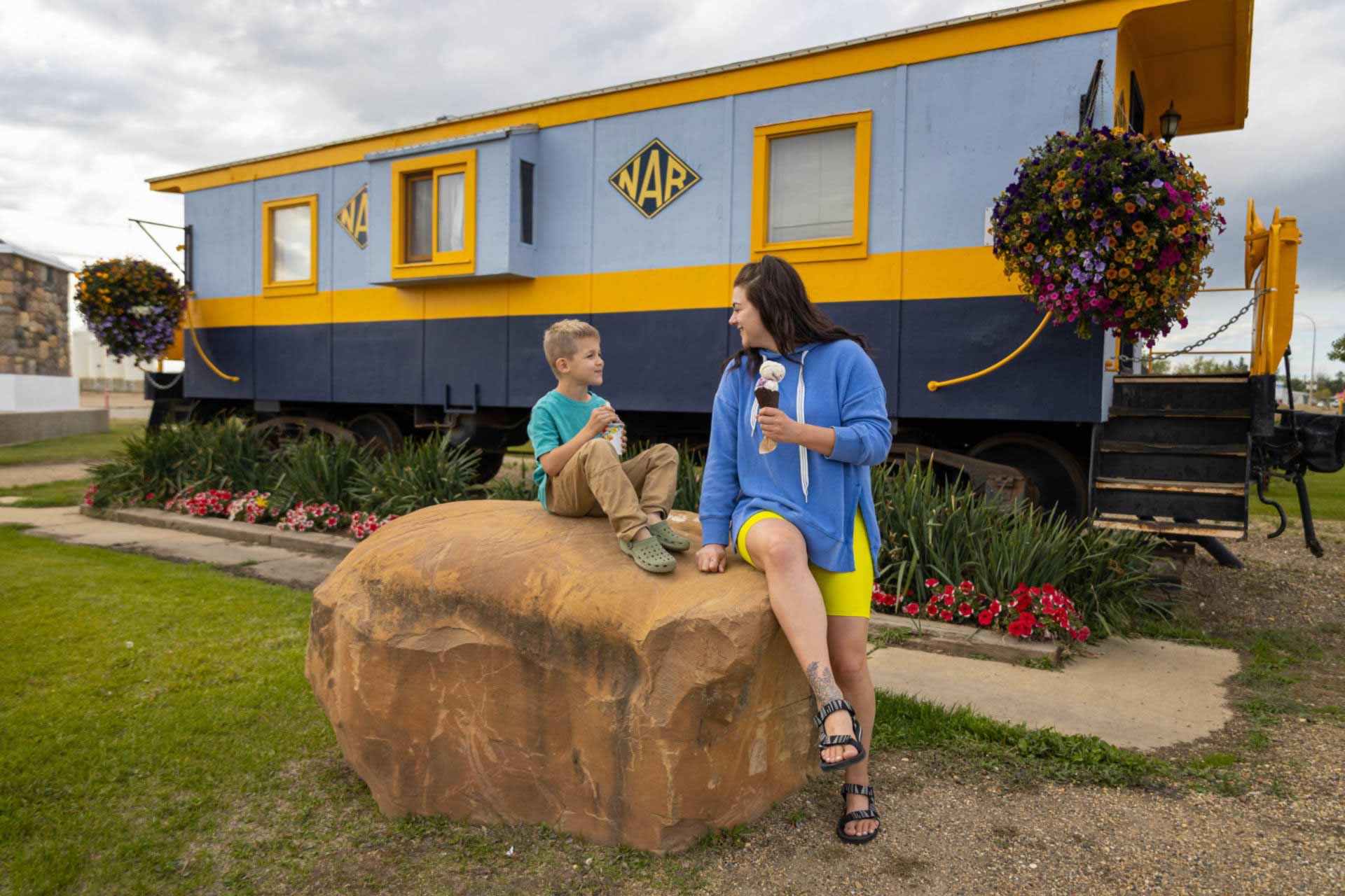
15. Mile Marker in Zero in Grimshaw
Wilderness Park to Mile Marker Zero - 5.5km
In the heart of Grimshaw, just off the highway, is the Mile Zero Marker, which is celebrated with a beautiful monument and historical information on display.
The monument signifies the mile zero mark of the Mackenzie highway that takes visitors north to Manning, High Level, Yellowknife and beyond.
Get your picture taken with the authentic NAR Rail Car, and be sure to grab an ice cream, a coffee, and some candy across the street at The Junction - Candy, Creamery and Coffee House before you head out
Get There: 5020 55 Avenue Grimshaw
Places to Stay:
Coast Hotel, Dee Jay Motel, Queen Elizabeth Provincial Park
Places to Eat:
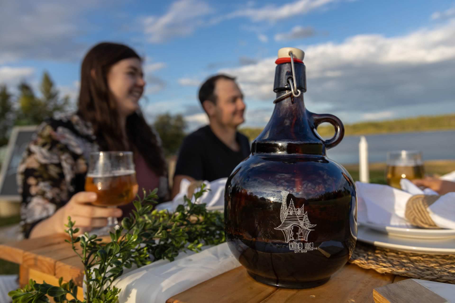
Krooked House, Mighty Peace Golf Club
Places to Shop:
Raediance Florist & Gift Shop, Riverside Ranch Decor
Golf:
Mighty Peace Golf Club
16. Figure Eight Lake Provincial Recreation Area
Mile Marker Zero to Figure 8 Lake - 29.8km
This lake may seem small - but it certainly is mighty!
Figure Eight Lake is a favourite for residents and visitors in the area because it offers so much – you can fish, swim, boat (electric power), camp and hike. The vibe of this little slice of heaven is peaceful, rustic, relaxed and joyful.
You can pop up a picnic, enjoy the view of the lake, take a hike on the stunning trail around the lake or just keep on fishin'.
There is also a playground, fire pits stocked with firewood and outhouses.
Get There: From Grimshaw, take Highway 737 north and turn right onto Highway 737 north.w
17. Dixonville Community Forest Trail
Figure 8 Lake to Dixonville Community Forest - 42.6km
This little forest has so much more than just trails, and you can really see the dedication and pride of the community by the way this pristine area is kept and maintained.
There are different sections along the trail in the forest, such as Chickadee Alley, where you will see many chickadees. They have the perfect habitat and all the food they need as the trail volunteers stock multiple birdhouses with food that keeps the birds, and visitors, coming back.
Taking a walk through the Dixonville Community Forest really is an enchanting experience. They even named a portion of the forest "The Enchanted Forest," which is decorated with painted rocks from local students and community members, gnomes, fairies and more – this is a must-see for all ages.
The Dixonville Community Forest Trail conveniently connects with the Shady Lane Campground, which has 23 serviced sites, tables, grills, water, toilets, showers and a playground.
Before you leave this adorable hamlet, stop off at Dixonville General Store for a bite – they have tasty menu options and offer specials daily.
Get There: From Grimshaw, take Highway 35 north and watch for signage.
Places to Eat:
Dixonville General Store
18. Haig Lake
After the Dixonville Community Forest you will be traveling on the Mackenzie Frontier portion of the circle tour. From Red Earth Creek to Haig Lake - 80.4km
Known for fantastic fishing with a gorgeous backdrop, Haig Lake is worth the drive. Located in the Woodland Cree First Nation, this 881.8ha lake has pickerel, whitefish and jackfish. If you don’t feel like fishing, you can enjoy the day on your motorized boat, canoe, paddleboard or kayak. Nestled in pristine backcountry, the peace and tranquillity experienced here are second to none. They also have eight unserviced camping sites, firepits, picnic tables, a hiking trail and excellent cell phone service if you need to stay connected.
Get there: Take Highway 743 north to highway 986, turn left onto Township Road 871A. Haig Lake is approximately 1.5 hours northeast of Peace River.
19. St. Isidore Culturel Centre
Haig Lake to St. Isidore Culturel Centre - 123.5km
St. Isidore is a must-see on your tour of the Mighty Peace! This friendly and cozy community has rich cultural roots that are proudly shared at the Centre Culturel de St. Isidore. Inside this stunning facility is a library filled with French books, an incredible bilingual museum showcasing the history of St. Isidore (there’s even a train car replica), and the Tiesserandes de St. Isidore (St. Isidore Weavers). You can watch the local weavers create their stunning projects on-site, and check out their super popular blankets, tea towels, carpets and table runners available for sale. The facility also has a commercial kitchen, a gymnasium, a bar area and a massive heated outdoor gazebo with a bar and indoor firepit. This is also a really great place to host a wedding or event!
Get there: The Centre Culturel de St. Isidore is located in Bouchard Street in the Hamlet of St. Isidore.
Places to stay:
Featured Locations Round-up
Dive in and explore what makes the Great Northern Alberta Tour stops special. Get more info on each destination to plan your trip.Explore the Full Circle Tour Experience.
The Great Northern Mighty Frontier Circle Tour - Mackenzie Frontier


