No Records Found
Sorry, no records were found. Please adjust your search criteria and try again.
Google Map Not Loaded
Sorry, unable to load Google Maps API.
-
Save
GPS Coordinates: N56° 07.533’ W120° 03.367’
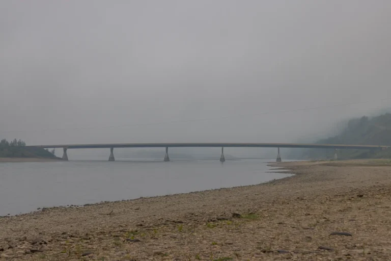
The first section of your river adventure starts at the Clayhurst Bridge. There are loading and unloading areas on either side of the river just below the bridge. As you begin your travels you will notice high, grassy, and rocky slopes on either side of the river. This scenic area is known to have plenty of wildlife sightings, especially beavers and birds of prey. The terrain will begin to change slightly as you progress down the river and you will notice more sandy areas, as well as some hoodoos along the steep riverbanks. There are some low areas on this section, so reading the water is key. Although conditions can change from year to year, it’s important to note the water levels and choose the best course forward.


