GPS Coordinates: N56° 07.900’ W119° 54.683’
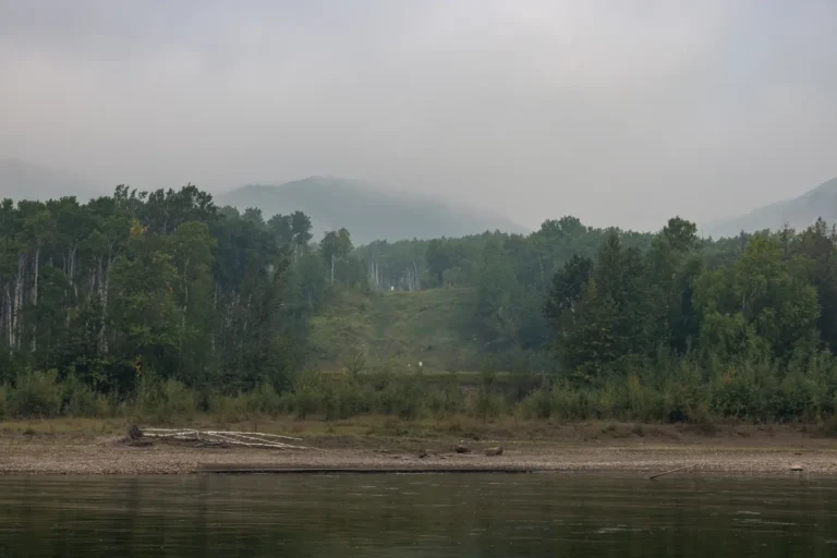
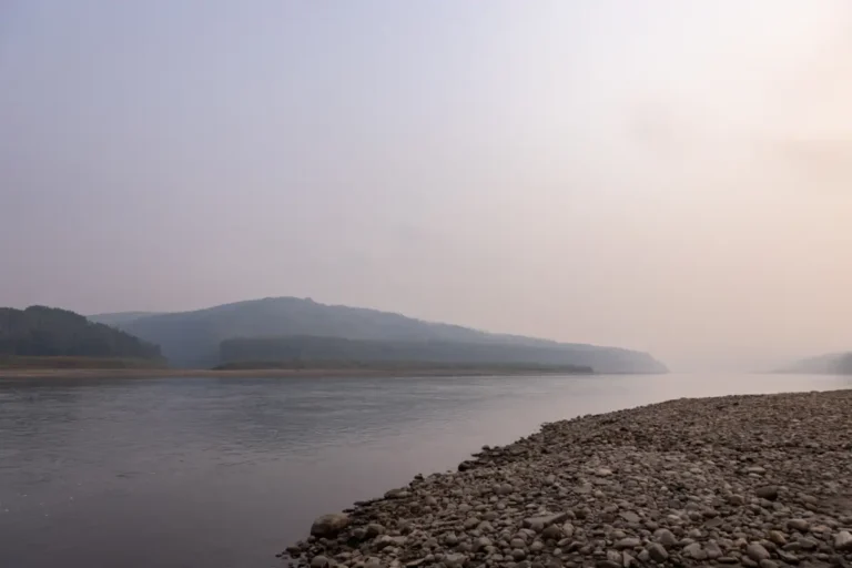
Directly across from Maxwell’s Landing is the Pouce Coupe River. There is no launch available here, and depending on the season, the river can be quite low. There is a lot of history surrounding this river, and it was previously known as the Bear River when Alexander Mackenzie passed it in 1793.
-
Save
GPS Coordinates: N56° 10.218’ W119° 47.153’
A glimpse of civilization can be seen during this section. A pipeline crossing is noticeable here and offers a quick change in scenery. In drier conditions, a sandbar can be seen jutting out from the left side of the river immediately after the two islands, so it is recommended to read the river and choose the best course of action once again. -
Save
GPS Coordinates: N56° 10.433’ W119° 42.467’
Clear River is an informal day use area that allows for visitors to swim, fish, and explore. With access from the river, you will be able to hike an undeveloped trail and enjoy this quiet and magical site. A small creek flows through the south side of this location and there are many lush trees. This place is definitely worth exploring!