-
Save
GPS Coordinates: N56° 09.569’ W117° 25.198’
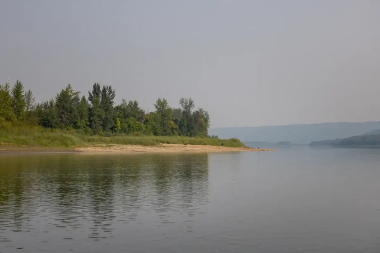
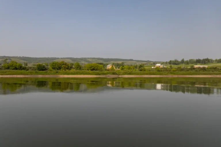
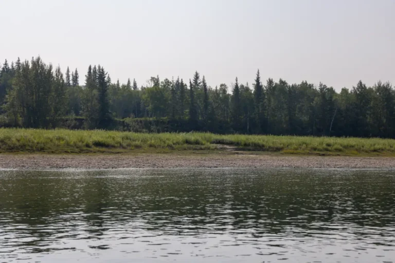
With a sign at the river, you’ll know exactly where Strong Creek Park is located. About 40m downstream from the sign is a trail that will lead you up top if you wish to stop. Situated on the left shore, this awesome spot has camping stalls for RV’s and tents, a new playground, direct access from Secondary Highway #684, picnic facilities, firewood and firepits, outhouses, a water pump, baseball diamonds, and hiking trails. It’s a favourite among locals and has some of the best scenery in the Peace Region.Paddle Time
7 Minutes
-
Save
GPS Coordinates: N56° 09.500’ W117° 26.683’
Used as a landmark only, the top of the left shore is where the Peace River Correctional Centre sits.Paddle Time
20 Minutes
-
Save
GPS Coordinates: N56° 08.158’ W117° 28.220’
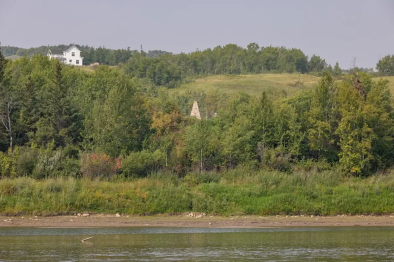
On the left side of the river is the Mackenzie Cairn, which has direct highway access from Secondary Highway #684. The Mackenzie Cairn was erected at the site directly across the river from the original site of Fort Fork. Although you can no longer see Fort Fork, it still holds a lot of history. Built in 1792 as winter quarters for Alexander Mackenzie, it was later abandoned in 1805 and pieces from the site are now kept in the Peace River Museum.Paddle Time
30 Minutes
-
Save
GPS Coordinates: N56° 06.192’ W117° 30.922’
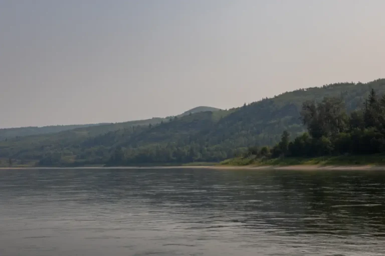
Mackenzie Lookout is on the right side of the river and is a high grassy knob on the hills. It’s an obvious landmark to see and has a ton of history. This is where men from Fort Fork used to watch for Mackenzie’s return during the summer of 1793.Paddle Time
20 Minutes
-
Save
GPS Coordinates: N56° 05.683’ W117° 33.417’
This beautiful camping and public use park is one of the most developed campgrounds along the river, and has access from the Secondary Highway 740, as well as access from the river, but it can be tricky depending on the water levels. If you can dock along the river, you will need to hike about a quarter mile to the trail that enters the campgrounds. The campground itself has RV and tent sites, power hookups, firepits and firewood, picnic tables, washrooms, tap water, telephone, playground, slow pitch ball diamond, hiking trails and an onsite caretaker.
Paddle Time
7 Minutes
-
Save
GPS Coordinates: N56° 05.709’ W117° 34.246’
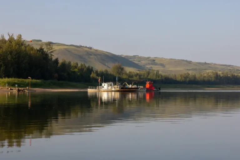
The easily recognizable Shaftesbury Ferry is just downstream and operates when there is no ice cover on the river. There is paved access to the ferry on the left with Secondary Highway #684, and Secondary Highway #740 on the right side of the river. There are also areas on the left that can be used to dock your boat if needed. Built in 1951, this is one of six ferries still in operation in Alberta.Paddle Time
15 Minutes
- Be Picky
- Offers
- Do
- Tours
- All Circle Tours
- Agriculture Tour in the Mighty Peace
- 8-Day Northern Alberta RV Itinerary
- Golf Tour
- Geocache Tour
- Unique & Hidden Gems Tour
- The Great Northern Mighty Frontier Circle Tour
- The Great Northern Mighty Frontier Circle Tour – Mackenzie Frontier
- World Jet Boat Championship Circle Tour
- Northern Lights & Dark Sky Guide
- Summer Francophone Circle Tour
- Winter Francophone Circle Tour
- Stay
- Destinations
- Plan
- Signature Events
- Falher Honey Festival
- Fairview SOS Party
- Peace River Pow Wow
- World Jet Boat Championship Circle Tour
- Woodland Cree First Nation Treaty Days
- Wanham Plowing Match
- Bonanza Agricultural Fair & Mud Bogs
- Waterhole Rodeo
- Peace Mud Bogs & Fair
- Race The 8
- Summer’s End Festival
- Harvest Moon Festival
- Miserable Miles
- Town Of McLennan Oktoberfest
- Monthly
Contest - Members
- Be Picky
- Offers
- Do
- Tours
- Back
- All Circle Tours
- Agriculture Tour in the Mighty Peace
- 8-Day Northern Alberta RV Itinerary
- Golf Tour
- Geocache Tour
- Unique & Hidden Gems Tour
- The Great Northern Mighty Frontier Circle Tour
- The Great Northern Mighty Frontier Circle Tour – Mackenzie Frontier
- World Jet Boat Championship Circle Tour
- Northern Lights & Dark Sky Guide
- Summer Francophone Circle Tour
- Winter Francophone Circle Tour
- Stay
- Destinations
- Plan
- Signature Events
- Back
- Falher Honey Festival
- Fairview SOS Party
- Peace River Pow Wow
- World Jet Boat Championship Circle Tour
- Woodland Cree First Nation Treaty Days
- Wanham Plowing Match
- Bonanza Agricultural Fair & Mud Bogs
- Waterhole Rodeo
- Peace Mud Bogs & Fair
- Race The 8
- Summer’s End Festival
- Harvest Moon Festival
- Miserable Miles
- Town Of McLennan Oktoberfest
- Monthly
Contest - Members

