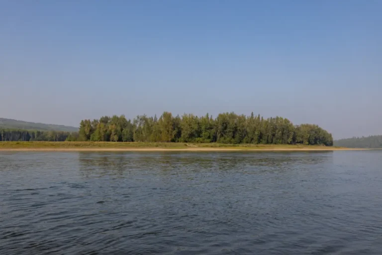
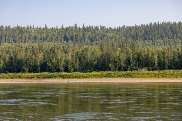
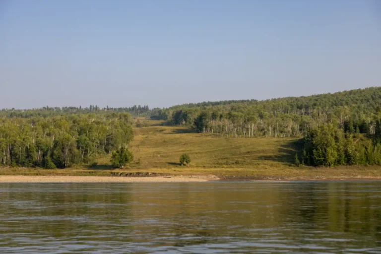
GPS Coordinates: N55° 55.759’ W117° 56.941’
Right after departing Camp Island, you will come across an island in the middle of the river that was once a sand-dune island famously noted in Alexander Mackenzie’s journals. Now, you’ll find that it’s covered in tall grass and vegetation and is a favourite spot among the deer population here. The current can be a bit stronger around Sand Island, so be prepared for some waves if the water is high.
Paddle Time
30 Minutes
No Records Found
Sorry, no records were found. Please adjust your search criteria and try again.
Google Map Not Loaded
Sorry, unable to load Google Maps API.
Photos
Related Listings
-
Save
GPS Coordinates: N55° 54.852’ W118° 08.632’
Ideal for a quick stop or picnic, the Burnt River has a great, flat landing spot where you can relax and take in the incredible views of the valley. Along the north shore you’ll see a private cabin, and if you’re feeling like taking a dip in the river, the water is deep enough right off the shoreline. Perfect for when you want to kick back and soak up the scenery, the Burnt River stop is sure to impress.Paddle Time
2 Hours, 15 Minutes
-
Save
GPS Coordinates: N55° 54.767’ W118° 00.933’
As the river straightens out you will see Long Island on the left. It’s easy to figure out how it got its name due to how long the island is, and you will see plenty of deciduous and coniferous trees atop it. Keep an eye out for wildlife here, especially hawks, eagles, deer, moose, and even bears.Paddle Time
1 Hour
-
Save
GPS Coordinates: N55° 55.150’ W117° 59.117’
Elk Island Park is a decent place to stop when travelling on the river. Docking here can be difficult though as water levels tend to drop quickly, making it important to find a spot with plenty of water. The access road to this location is very narrow and steep and almost impossible in the rain and mud, so it is not advised to use in an emergency situation.Paddle Time
3 Minutes
-
Save
GPS Coordinates: N55° 55.083’ W117° 58.383’
This great camping area is just down stream from Elk Island and has many great spots to throw up a tent and spend the night. Tucked into the trees, this camping spot is quiet and offers plenty of space to dock your boat and enjoy some time on land.Paddle Time
3 Minutes
-
Save
GPS Coordinates: N55° 55.900’ W117° 54.633’
Kieyho Park can be difficult to spot from the river, and there isn’t a main trail to the campground from the river, but there is a road that is accessible by off highway vehicles only. This spot offers secluded camping facilities, picnic tables, fire pits, a day use area, hiking trails and a playground. If you feel like dropping a line in the river and doing some fishing, this has been known to be a great area for it.Paddle Time
20 Minutes
-
Save
GPS Coordinates: N55° 57.299’ W117° 51.728’
Here you will notice a pipeline crossing and an island that will potentially be well groomed by local cattle. Through this route, it’s advised to stay left, but always use your best judgement.Paddle Time
30 Minutes

