- Be Picky
- Offers
- Monthly
Contest - Do
- Tours
- All Circle Tours
- Winter Francophone Circle Tour
- Northern Lights & Dark Sky Guide
- Geocache Tour
- Agriculture Tour in the Mighty Peace
- 8-Day Northern Alberta RV Itinerary
- Golf Tour
- Unique & Hidden Gems Tour
- The Great Northern Mighty Frontier Circle Tour
- The Great Northern Mighty Frontier Circle Tour – Mackenzie Frontier
- World Jet Boat Championship Circle Tour
- Summer Francophone Circle Tour
- Stay
- Destinations
- Plan
- Signature Events
- Members


Back
Things To Do
- All Regional Experiences
- Directory
- Mighty Peace Tours
- Made in the Mighty Peace
- Trails & Hiking
- Dark Skies
- ATVing
- Biking
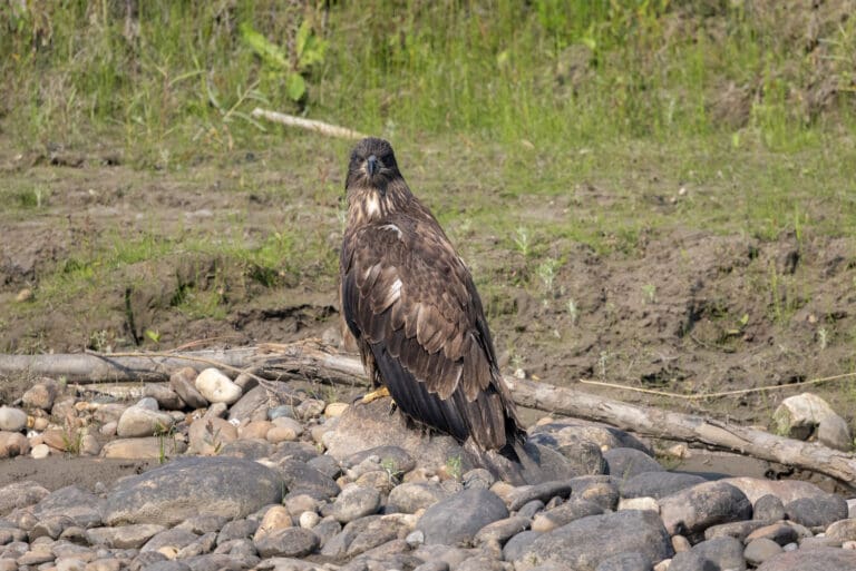
- Bird and Wildlife Viewing
- Bowling
- Breweries
- Camping
- Cross-Country Skiing
- Culture, Heritage, and Arts
- Curling
- Downhill Skiing
- Eat & Drink
- Farmer’s Markets
- Fishing
- Golfing
- Guided / Self Guided Tours
- Health and Wellness
- Horseback Riding
- Hunting
- Ice Fishing
- Jet Boating
- Made In The Mighty Peace
- Museums & Historic Sites
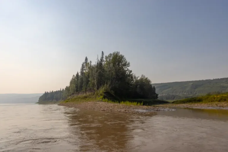
- Paddle Sports
- Playgrounds & Splash Parks
- Points of Interest
- Recreation Centres
- Shopping
- Skating
- Snowmobiling
- Snowshoeing
- Swimming
- Tubing & Tobogganing
- U-Picks and Honey Farms
- Visitor Centres
Back
Tours
- All Circle Tours
- Winter Francophone Circle Tour
- Northern Lights & Dark Sky Guide
- Geocache Tour
- Agriculture Tour in The Might Peace
- 8-Day Northern Alberta RV Itinerary
- Golf Tour
- Unique & Hidden Gems
- The Great Northern Mighty Frontier Circle Tour
- The Great Northern Mighty Frontier Circle Tour – Mackenzie Frontier
- World Jet Boat Championship Circle Tour
- Summer Francophone Circle Tour
Back
Signature Event

Be Picky
Things to Do
Tours
Places to Stay
Plan Your Trip
Signature Event
Members

