No Records Found
Sorry, no records were found. Please adjust your search criteria and try again.
Google Map Not Loaded
Sorry, unable to load Google Maps API.
-
Save
GPS Coordinates: N56° 01.760’ W118° 52.901’
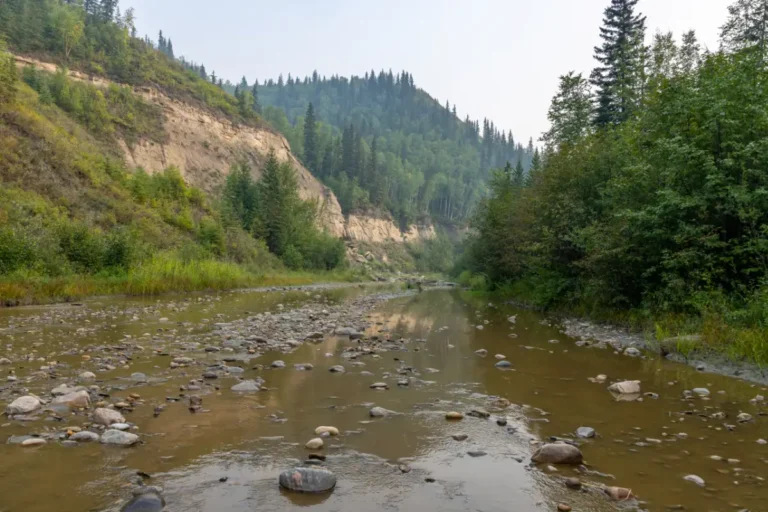
At this spot you will find yourself in a valley known as Hamelin Creek. There is no access road to this location, but it is common to see ATV tracks near the river edge. This area offers some unique hiking opportunities if you want to take a break and stretch your legs. There are usually a lot of wildlife tracks here, so be prepared and stay aware.Paddle Time
20 Minutes
-
Save
GPS Coordinates: N56° 02.700’ W118° 54.633’
Pratt’s Landing can be accessed by road, but it is often a hazardous drive in the rain due to the steep grade, so caution is given to those driving in. There is a campground here that has all the traditional amenities such as, RV and tent spots, picnic tables, firepits, picnic areas, a playground, hiking trails, and a boat launch that is suitable for both power boats and canoes. From the river you will notice a large, gravelled shoreline, which is the ideal location for a pitstop. This area is also known to have a lot of wildlife and it’s recommended to have your binoculars or camera ready!Paddle Time
10 Minutes
-
Save
GPS Coordinates: N56° 08.217’ W119° 55.617
Maxwell’s Landing is an ideal stop on the left shore to take a break, have a picnic, or do some sightseeing. You will have a great view of the valley here and can dock your boat easily. There is a decent sized area to relax, create a campfire or stretch your legs, but the back portion of the landing is quite overgrown with dense trees and bushes. This is a very quiet, serene spot on the river and is the perfect place for a pitstop. -
Save
GPS Coordinates: N56° 07.533’ W120° 03.367’
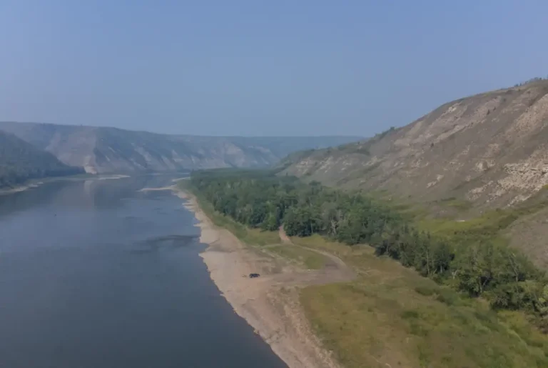
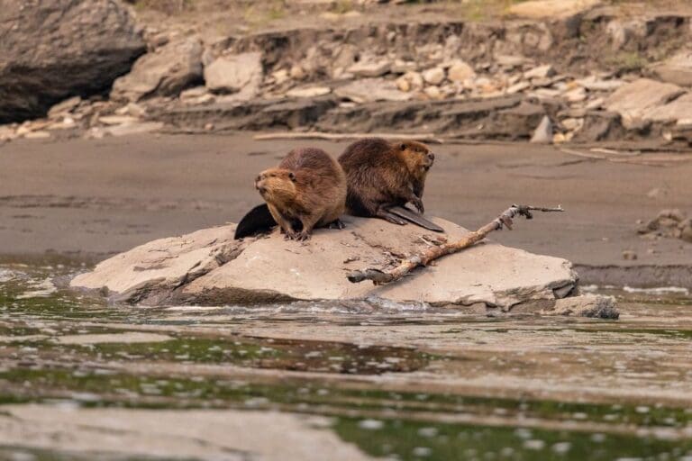
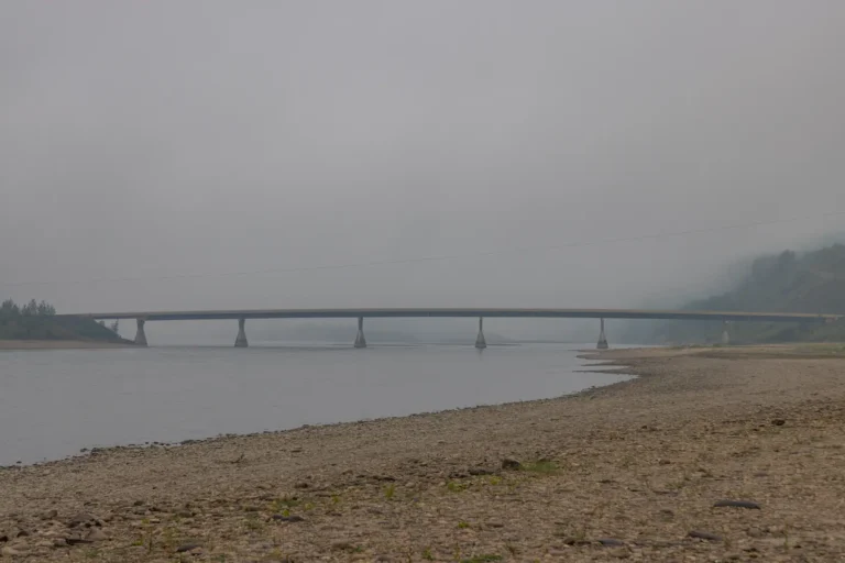
The first section of your river adventure starts at the Clayhurst Bridge. There are loading and unloading areas on either side of the river just below the bridge. As you begin your travels you will notice high, grassy, and rocky slopes on either side of the river. This scenic area is known to have plenty of wildlife sightings, especially beavers and birds of prey. The terrain will begin to change slightly as you progress down the river and you will notice more sandy areas, as well as some hoodoos along the steep riverbanks. There are some low areas on this section, so reading the water is key. Although conditions can change from year to year, it’s important to note the water levels and choose the best course forward.