GPS Coordinates: N56° 10.117’ W119° 40.683’
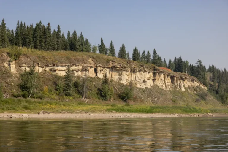
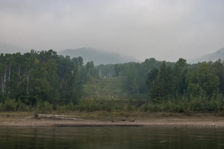
A few minutes downstream from Cotillion Park on the north cliffs of the river are the unique rock formations commonly known as hoodoos. Formed by thousands of years of erosion, these interesting rock creations are always exciting to see. You will almost feel like you’ve gone back in time when you come across them – make sure you have your camera ready!
Paddle Time
7.5 Minutes
No Records Found
Sorry, no records were found. Please adjust your search criteria and try again.
Google Map Not Loaded
Sorry, unable to load Google Maps API.
Photos
Related Listings
-
Save
GPS Coordinates: N56° 04.427’ W118° 55.501’
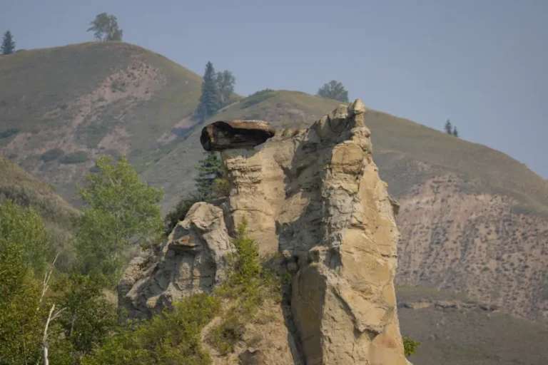
Almost looking out of place, Cathedral Rock is a large rock situated on top of a hill on the right side of the valley. Although part of it has fallen, this spot is still very interesting to see. The terrain changes a bit here and you will notice a cliff with rocky areas. The hills in this area are some of the most beautiful you will see during your travels.Paddle Time
1 hour, 50 Minutes
-
Save
GPS Coordinates: N56° 03.933’ W118° 56.017’
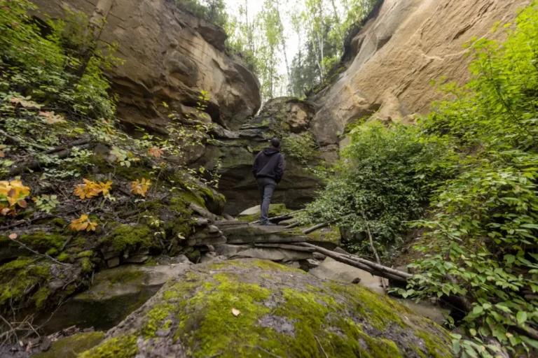
Extremely scenic, Fourth Creek is only accessible by river and has carved a canyon that’s filled with diverse wildlife, trees, hoodoos, and caves. Hiking is encouraged if you decide to stop for a while, but camping and building fires is not permitted. This one-of-a-kind location is a must see and will provide you with some epic photos to share after your adventures.Paddle Time
7 Minutes
-
Save
GPS Coordinates: N56° 03.300’ W118° 55.917’
A short distance away from Fourth Creek is a small waterfall surrounded by large, moss-covered rocks, fallen trees, and different layers of vegetation. Best seen in the spring, it’s common for the waterfall to be dry during the summer months, however the area can still be enjoyed and appreciated during the warmer months. This spot is one that everyone should explore and see at least once, as it is truly a fascinating area.Paddle Time
3 Minutes
-
Save
GPS Coordinates: N56° 10.218’ W119° 47.153’
A glimpse of civilization can be seen during this section. A pipeline crossing is noticeable here and offers a quick change in scenery. In drier conditions, a sandbar can be seen jutting out from the left side of the river immediately after the two islands, so it is recommended to read the river and choose the best course of action once again.Paddle Time
65 Minutes
-
Save
GPS Coordinates: N56° 10.433’ W119° 42.467’
Clear River is an informal day use area that allows for visitors to swim, fish, and explore. With access from the river, you will be able to hike an undeveloped trail and enjoy this quiet and magical site. A small creek flows through the south side of this location and there are many lush trees. This place is definitely worth exploring!Paddle Time
1 Hour, 30 Minutes
-
Save
GPS Coordinates: N56° 10.267’ W119° 42.900’
After exploring the Clear River area, you can catch a glimpse of the natural spring that flows out of the rocks nearby. This is a beautiful spot with a rock wall with spiral textures that is sure to grab your interest.Paddle Time
1 Hour, 30 Minutes

