GPS Coordinates: N56° 23.464’ W117° 09.953’
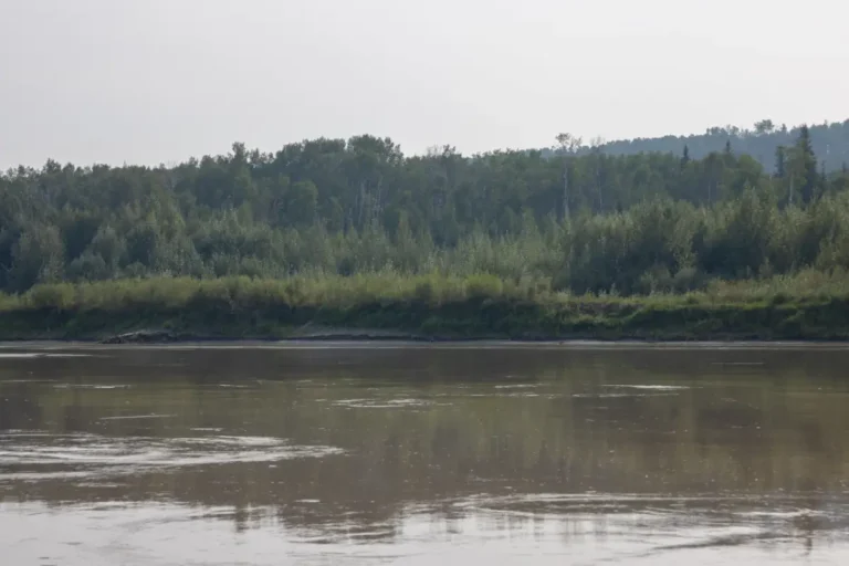
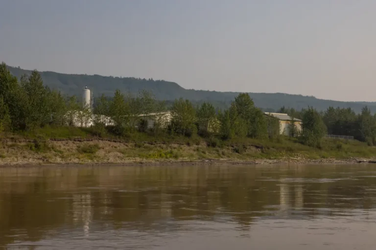
“Old Salty”, or “The Well from Hell”, was one of the most notorious wells drilled along the river. Drilled in 1916, it blew out as it was being drilled and for 87 years it burned a huge torch, belched sour gas, and salty-hydrogen water. In 2003 it was finally capped, but you can still see where it burned all those years. Look for a large clearing with dead trees on the left to see its destruction, and if you feel like exploring, you’ll be able to bushwack and follow deer trails up to it.
Paddle Time
22 Minutes
No Records Found
Sorry, no records were found. Please adjust your search criteria and try again.
Google Map Not Loaded
Sorry, unable to load Google Maps API.
Photos
Related Listings
-
Save
GPS Coordinates: N56° 20.350’ W117° 15.483’
Here you will see a capped oil well, originally drilled by the Peace River Oil Company, on the left shore.Paddle Time
15 Minutes
-
Save
GPS Coordinates: N56° 20.933’ W117° 13.350’
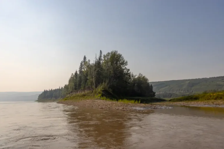
As you paddle around the right bend, you will first see Birch Island on the left, and then Brady’s Island directly after it. Birch Island got its name from the many birch trees on it, and as you come towards Brady’s Island you will see a lot of interesting cliffs and the train tracks to Mercer Peace River (previously known as the DMI Pulp Mill).Paddle Time
25 Minutes
-
Save
GPS Coordinates: N56° 21.383’ W117° 11.217’
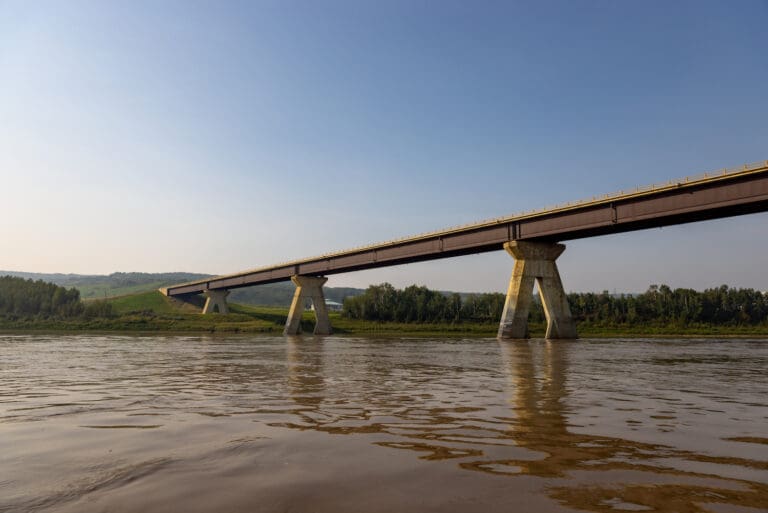
As you make your way downstream, you will pass under the Mercer (DMI) bridge, which is the longest rural bridge in Alberta at 734 meters long. Underneath, there can be some waves, so it’s advised to stay in the middle or go to the right. Just after the bridge you will see Wesley Creek on the right side entering the Peace River. Named after Pat Wesley, this creek is quite obvious and hard to miss.Paddle Time
10 Minutes
-
Save
GPS Coordinates: N56° 21.6192’ W117° 11.1474’
The DMI Bridge was completed in 1991. The bridge spans 734 metres (2,408 feet) in length. Take note of the four concrete abutments. They aren’t directly perpendicular to the bridge deck above; instead, they’re angled to minimize the river’s current cross-section.
Paddle Time
7 Minutes
-
Save
GPS Coordinates: N56° 22.350’ W117° 11.100’
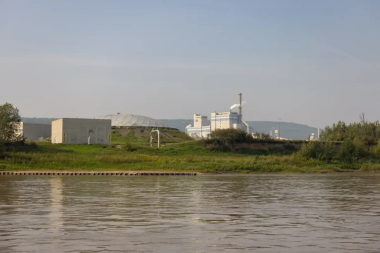
The Mercer pulp mill can be seen on the left just after the bridge and Wesley Creek. This mill began its operations in 1990 and produces both softwood and hardwood pulp.Paddle Time
3 Minutes
-
Save
GPS Coordinates: N56° 23.167’ W117° 09.867’
This intake water pump station will be on the right, and it draws water from the river to supply other operations – it’s important to not get too close to the intake.Paddle Time
22 Minutes

