- Be Picky
- Offers
- Monthly
Contest - Do
- Tours
- All Circle Tours
- Winter Francophone Circle Tour
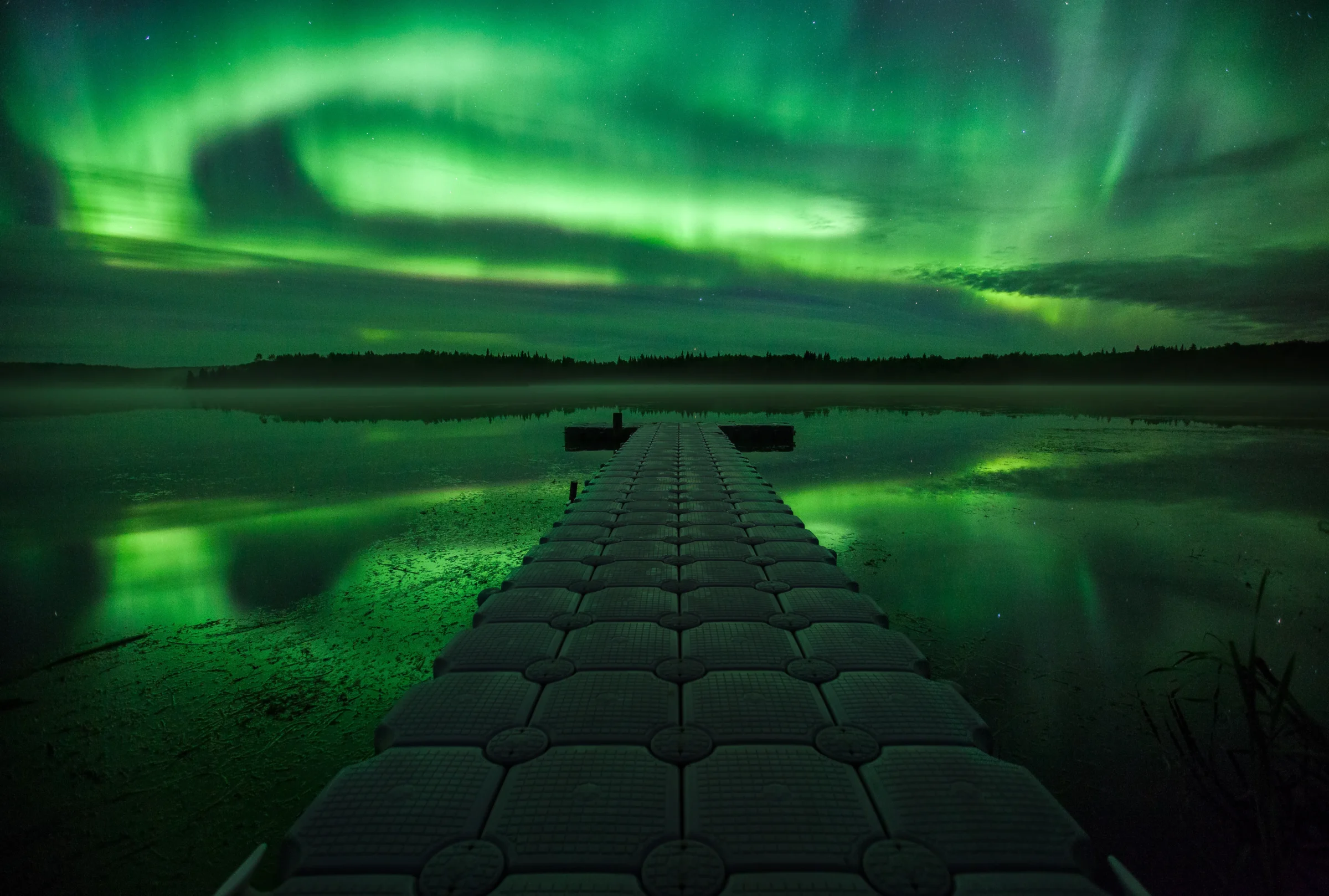
- Northern Lights & Dark Sky Guide
- Geocache Tour
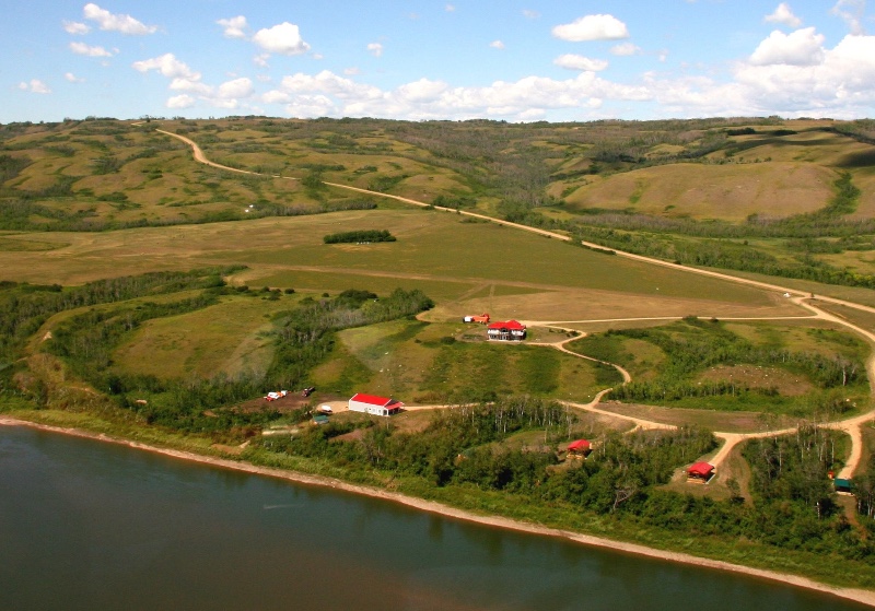
- Agriculture Tour in the Mighty Peace
- 8-Day Northern Alberta RV Itinerary
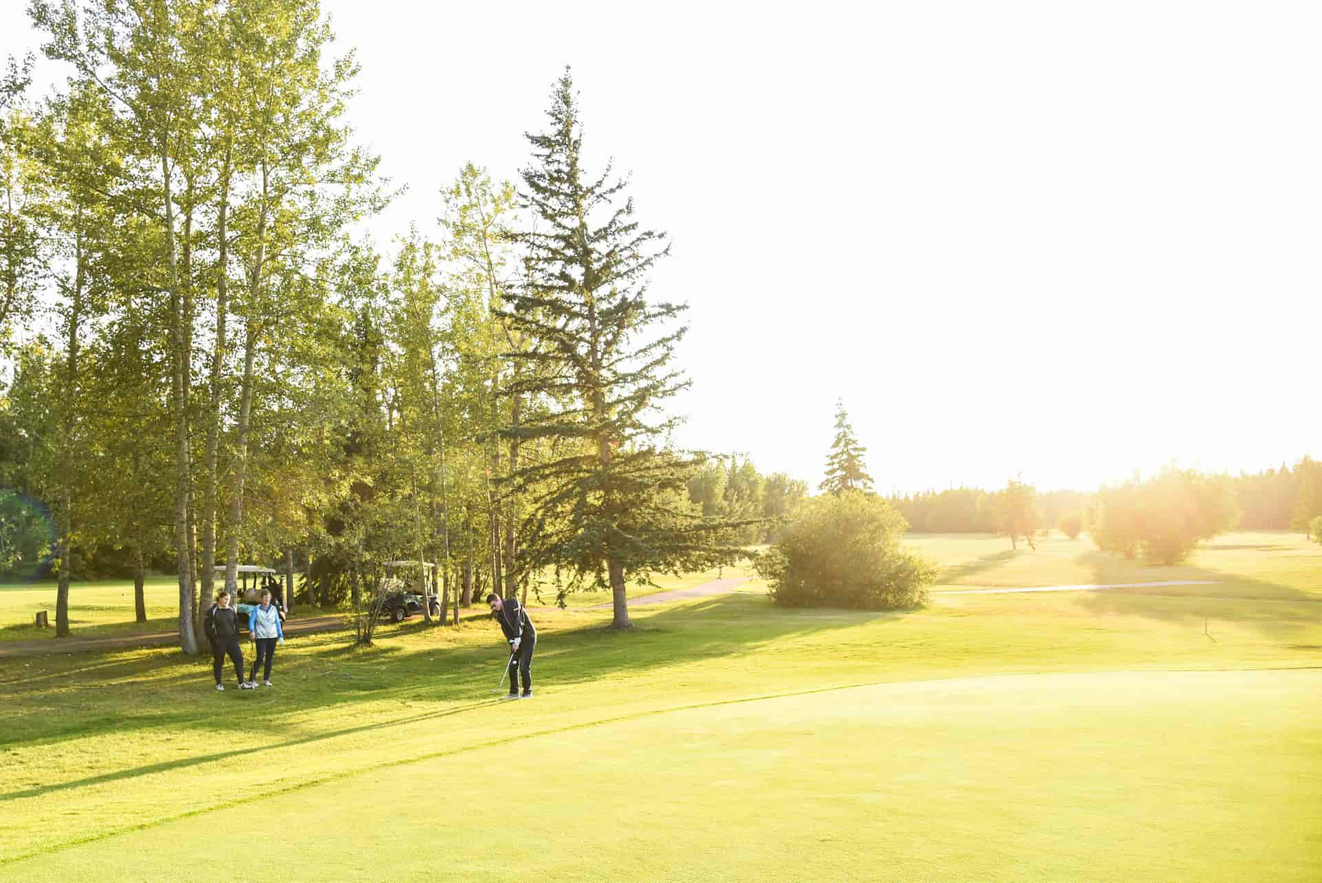
- Golf Tour
- Unique & Hidden Gems Tour
- The Great Northern Mighty Frontier Circle Tour
- The Great Northern Mighty Frontier Circle Tour – Mackenzie Frontier
- World Jet Boat Championship Circle Tour
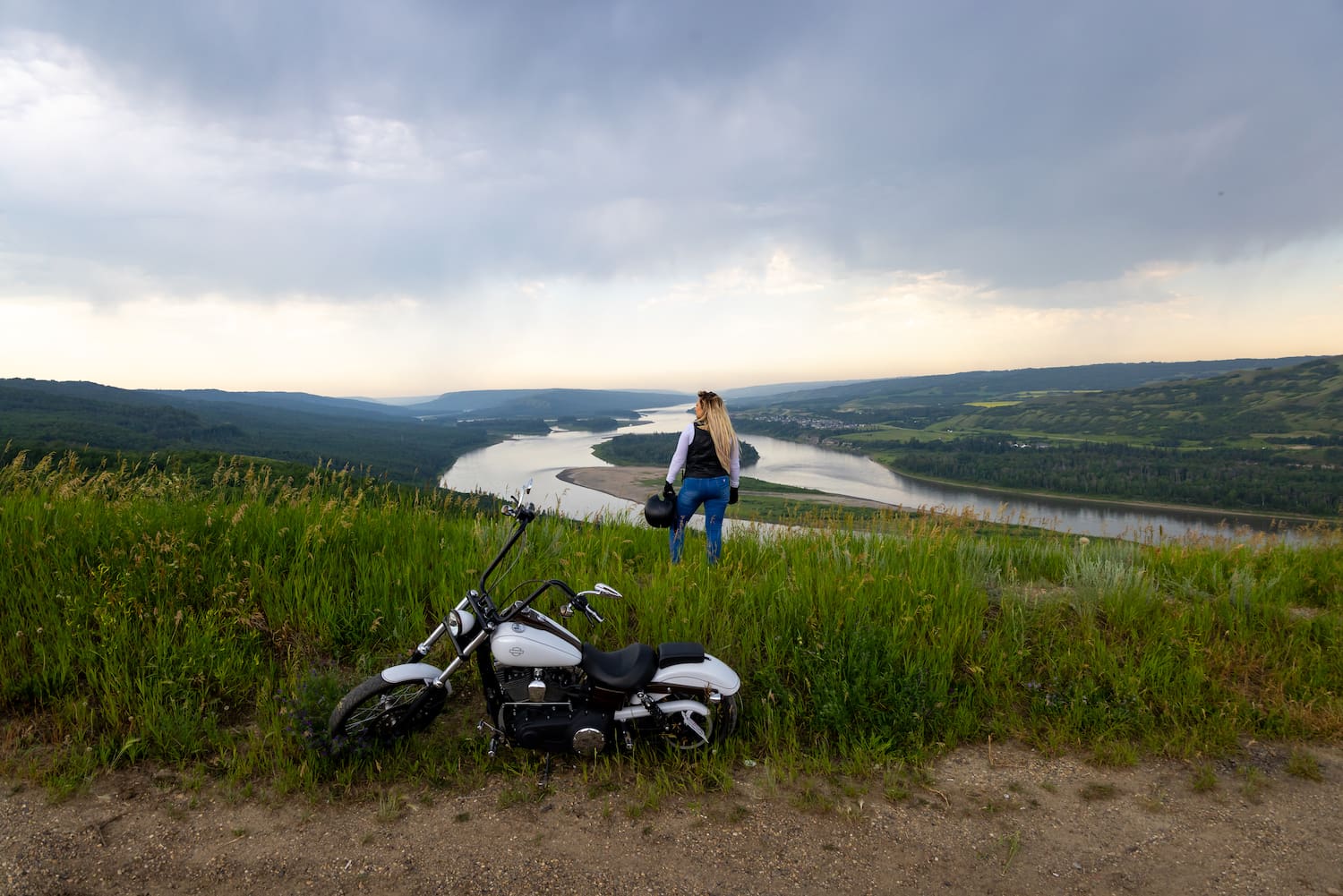
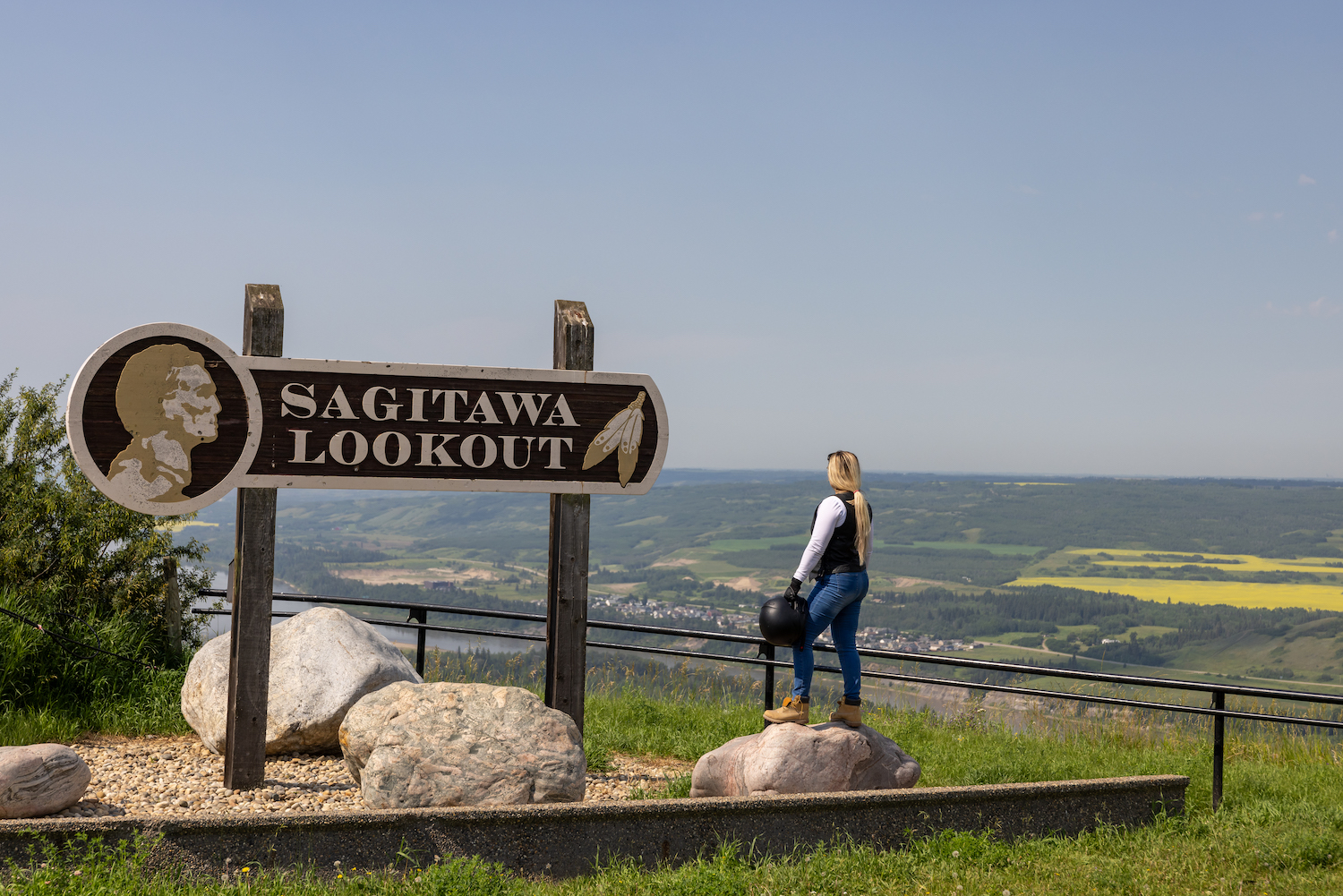
- Motorcycle Tour
- Summer Francophone Circle Tour
- Stay
- Destinations
- Plan
- Signature Events
- Members

Back
Things To Do
- All Regional Experiences
- Directory
- Mighty Peace Tours
- Made in the Mighty Peace
- Trails & Hiking
- Dark Skies
- ATVing
- Biking
- Bird and Wildlife Viewing
- Bowling
- Breweries
- Camping
- Cross-Country Skiing
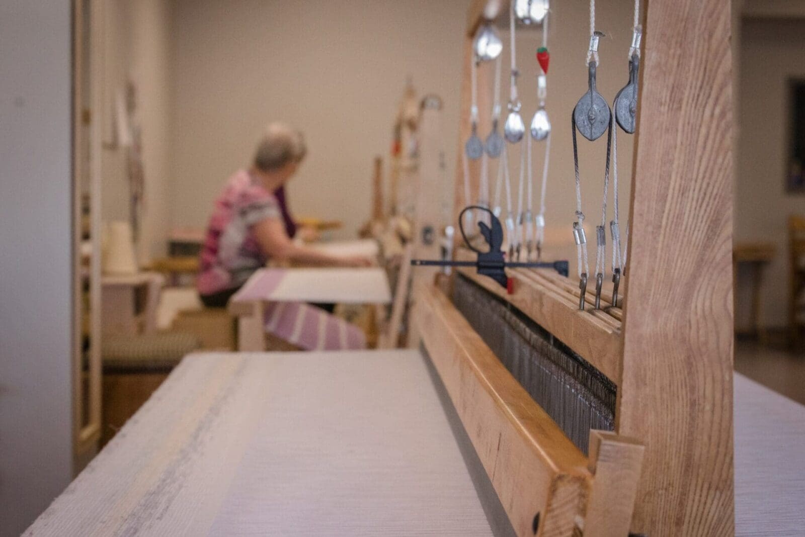
- Culture, Heritage, and Arts
- Curling
- Downhill Skiing
- Eat & Drink
- Farmer’s Markets
- Fishing
- Golfing
- Guided / Self Guided Tours
- Health and Wellness
- Horseback Riding
- Hunting
- Ice Fishing
- Jet Boating
- Made In The Mighty Peace
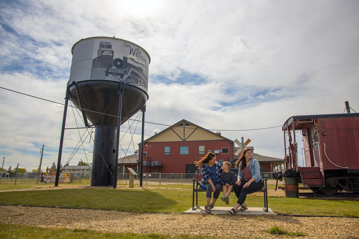
- Museums & Historic Sites
- Paddle Sports
- Playgrounds & Splash Parks
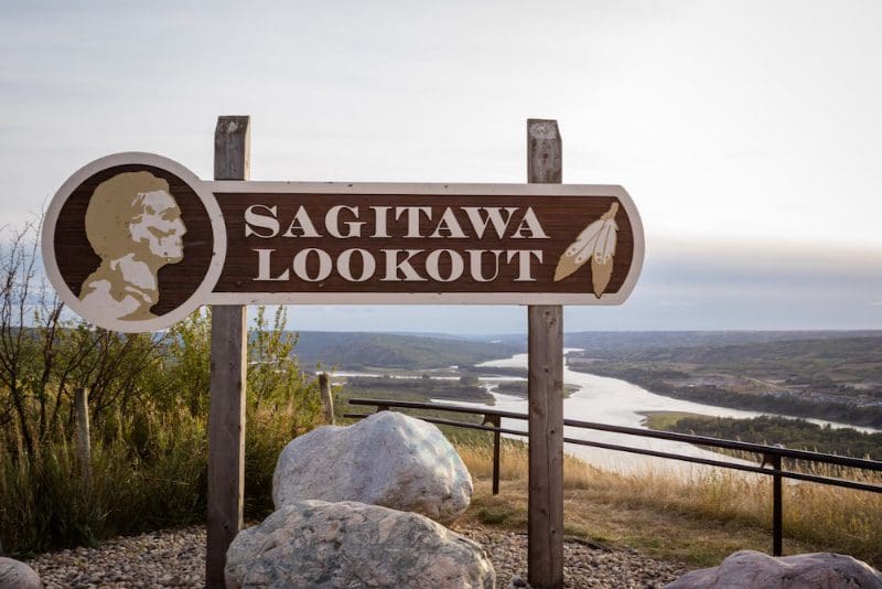
- Points of Interest
- Recreation Centres
- Shopping
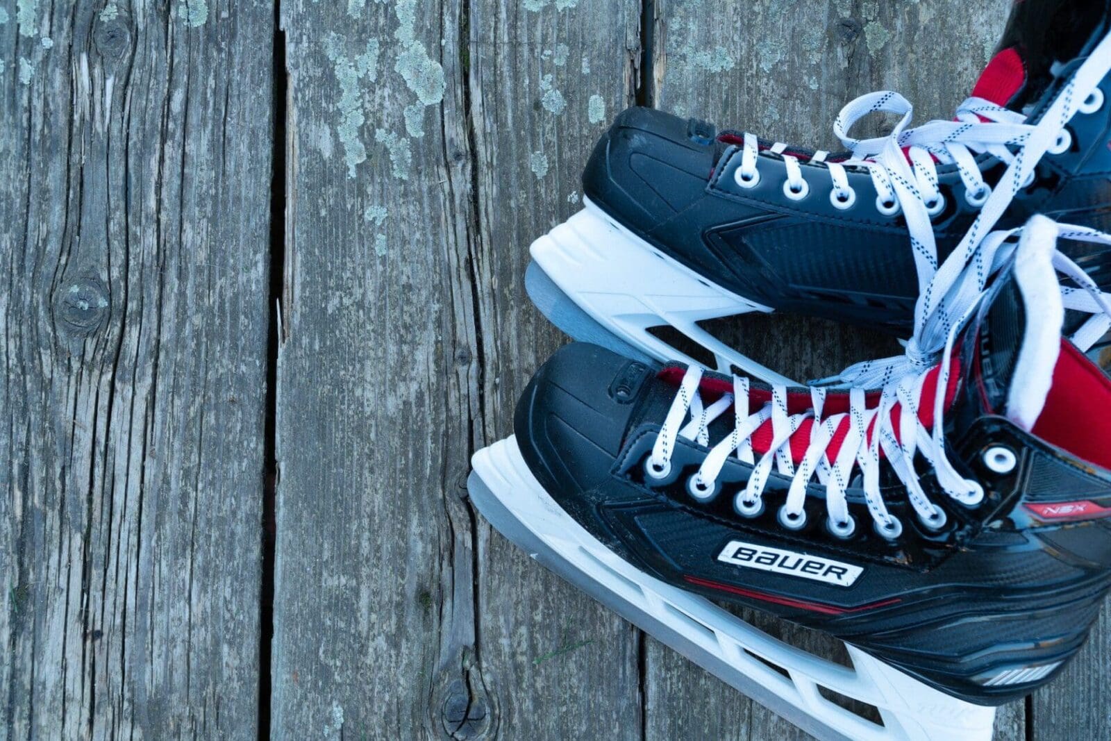
- Skating
- Snowmobiling
- Snowshoeing
- Swimming
- Tubing & Tobogganing
- U-Picks and Honey Farms
- Visitor Centres
Back
Tours
- All Circle Tours
- Winter Francophone Circle Tour
- Northern Lights & Dark Sky Guide
- Geocache Tour
- Agriculture Tour in The Might Peace
- 8-Day Northern Alberta RV Itinerary
- Golf Tour
- Unique & Hidden Gems
- The Great Northern Mighty Frontier Circle Tour
- The Great Northern Mighty Frontier Circle Tour – Mackenzie Frontier
- World Jet Boat Championship Circle Tour
- Summer Francophone Circle Tour
Back
Signature Event

Be Picky
Things to Do
Tours
Places to Stay
Plan Your Trip
Signature Event
Members
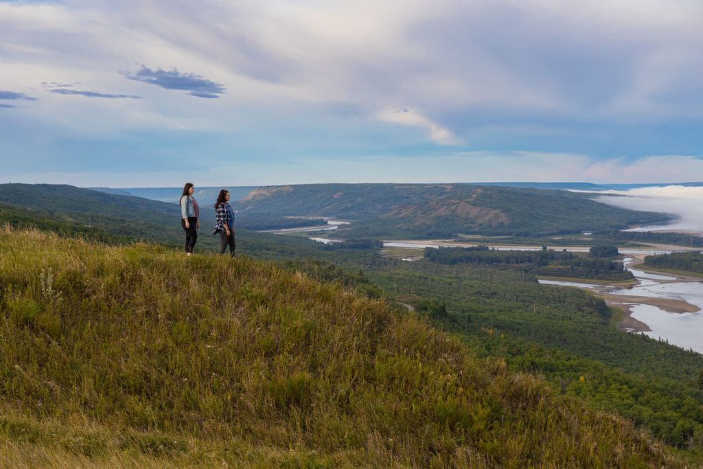
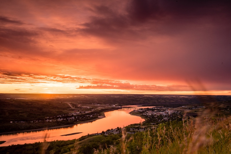
The Mighty Peace Region is located in northwestern Alberta, Canada, bordering northeastern British Columbia and the Northwest Territories. It's a vast, scenic area defined by the Peace River, one of the longest rivers in Canada, and is known for its rolling hills, river valleys, boreal forests, and wide-open skies.
The region includes a collection of rural communities, towns, and Indigenous settlements such as:
- MD of Smoky River
- County of Birch Hills
- Town of McLennan
- Town of Falher
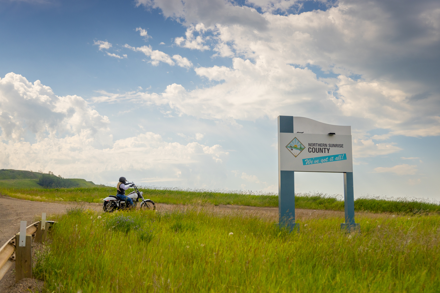
- Northern Sunrise County
- Woodland Cree First Nation
- Town of Peace River
- Town of Grimshaw
- County of Northern Lights
- MD of Peace
- MD of Fairview
- Town of Fairview
- Village of Hines Creek
- Clear Hills County
- Saddle Hills County
- Village of Rycroft
The Mighty Peace is known for its rugged natural beauty, rich Indigenous and settler history, agriculture, outdoor adventure, and a strong sense of community. It’s remote, wild, and welcoming—perfect for those looking to explore one of the last frontiers.
You can travel by air through Edmonton, Calgary, Fort McMurray or Grande Prairie airports. Charter flights also fly into the Peace River Airport. By car, the region is easily accessible via Alberta's highway system, you can map your route through Google Maps and check 511 Alberta for road conditions.
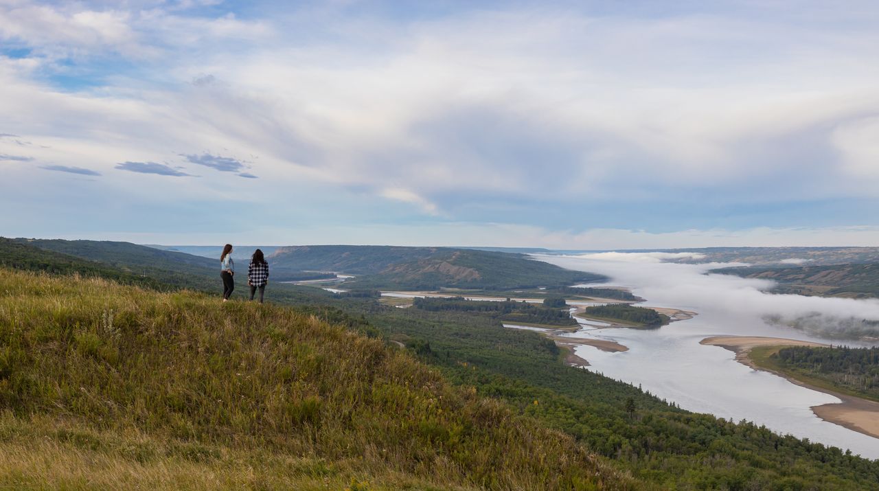
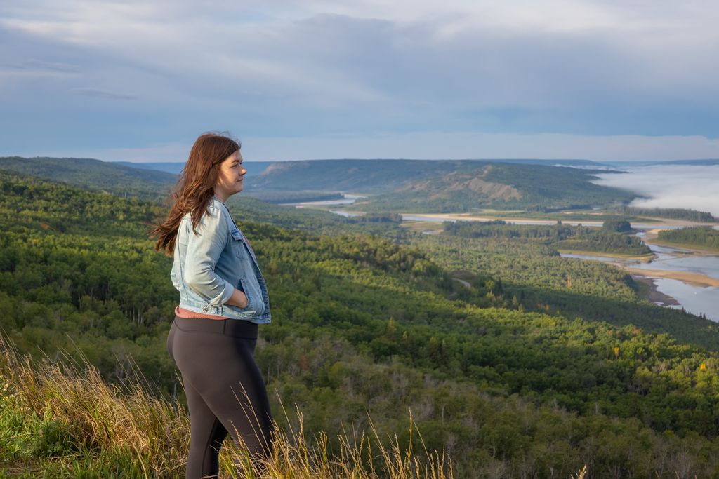
The region offers four distinct seasons. Summer (June–August) is ideal for river adventures, signature events, hiking, and road trips. Fall (September–October) brings stunning colors and harvest events. Winter (November–March) is perfect for dark sky viewing and snow activities. Spring (April–May) brings fresh air and migrating birds.
Popular activities include:
- Jet boat and paddle tours
- Hiking and ATV trails
- Fishing and hunting
- Dark sky viewing and northern lights
- Snowmobiling, cross-country skiing, and snowshoeing in winter
The region is rich in both Indigenous and Francophone history. Visit St. Isidore, the Town of Falher and the Town of McLennan for French culture and festivals, or explore Indigenous heritage through local events like the Peace River Pow Wow, historical sites, and interpretive tours.
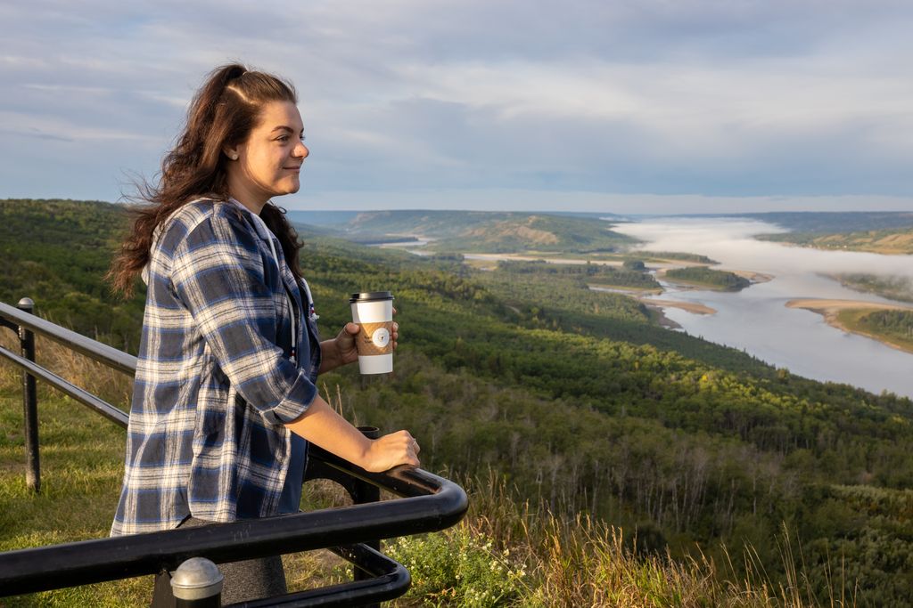
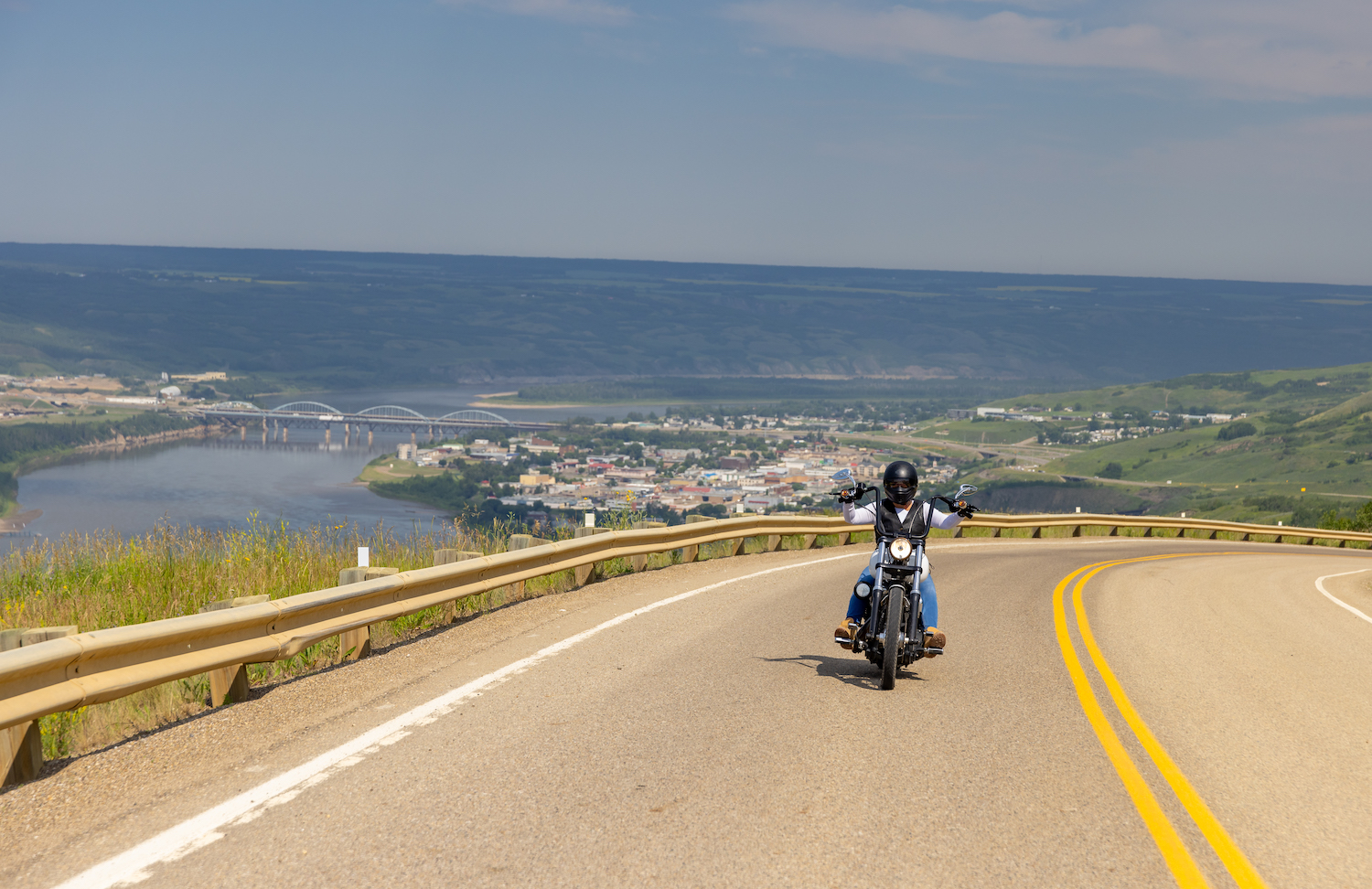
The Mighty Peace is known for its scenic highways, rolling hills, and quiet country roads, ideal for road trippers and motorcycle enthusiasts. You will find historic landmarks, small towns, and unique operators throughout your trip.
Options include cozy inns, motels, hotels, wilderness lodges, riverside cabins, campgrounds, and unique stays like glamping domes.
The region is full of working farms, u-pick experiences, and local markets. Learn about Northwestern Alberta’s deep agricultural roots, visit a farm, or take part in seasonal events that celebrate rural life.
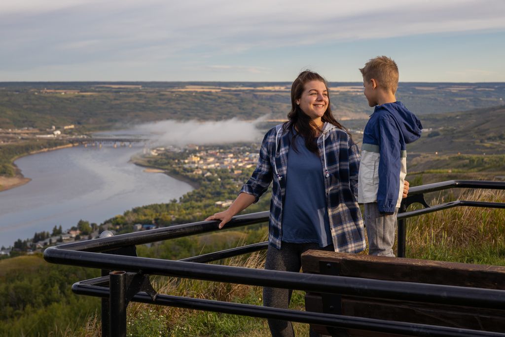
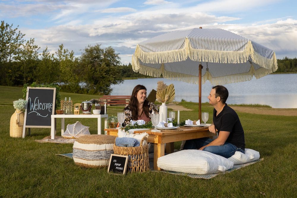
There are a variety of family-friendly activities throughout the region. From guided river paddles to outdoor museums, community events to campgrounds, there’s plenty for kids and families to explore.
You may spot elk, deer, moose, foxes, bears, beavers, and countless bird species—including herons and and trumpeter swans. Keep your camera ready!
Most of the towns and communities have good cell service and internet access. However, in remote areas, coverage may be limited—so plan ahead and download maps before heading out into these areas.
The official currency of Alberta is the Canadian dollar. There is also a five percent tax on all purchases in the province. This is the lowest tax rate in Canada. Major banks include Alberta Treasury Branch (ATB), Royal Bank of Canada (RBC), TD Canada Trust and CIBC.

