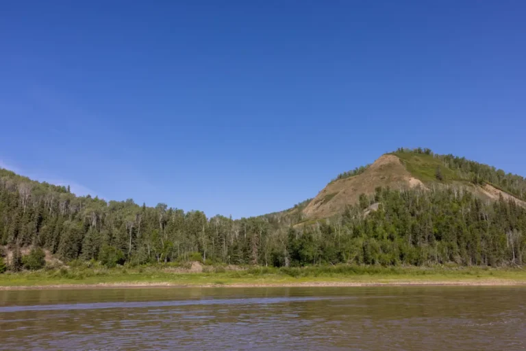
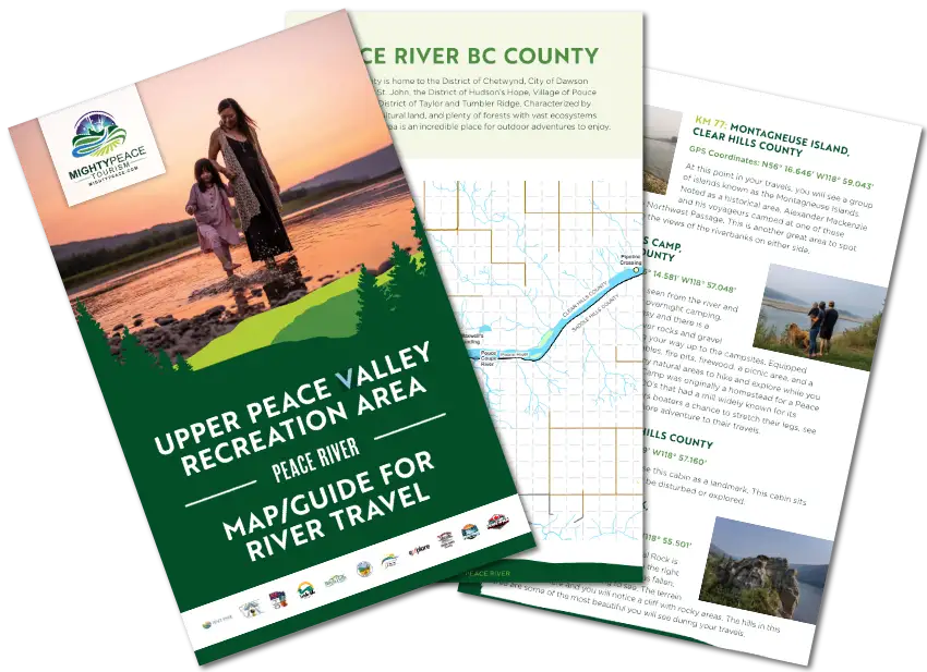
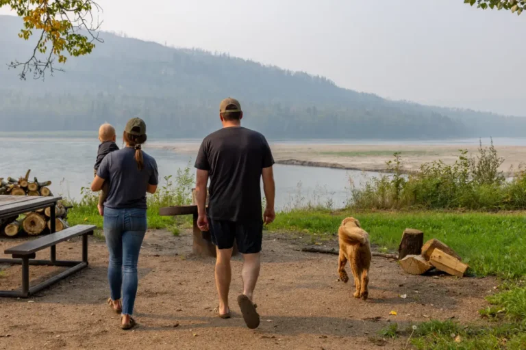
UPPER PEACE VALLEY RECREATION AREA
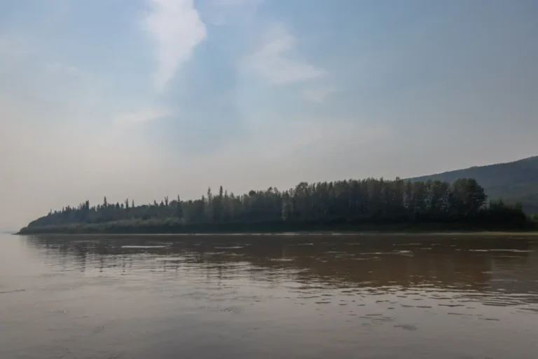
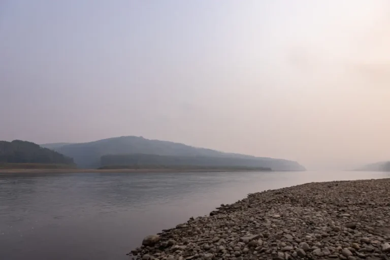
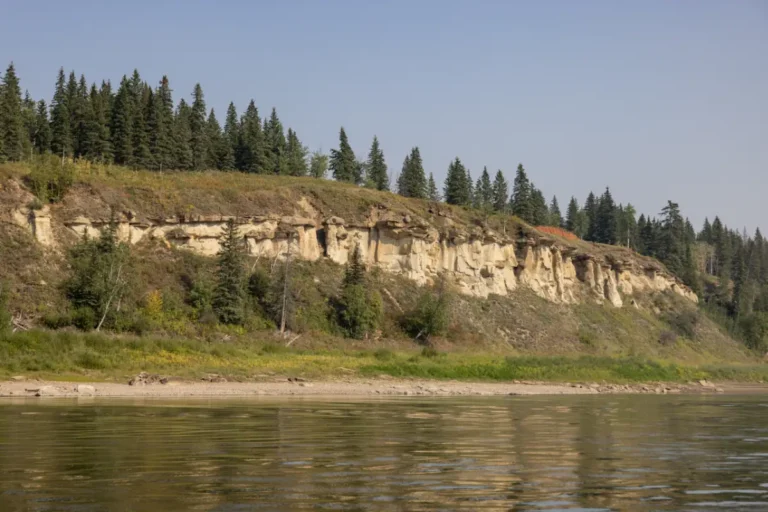
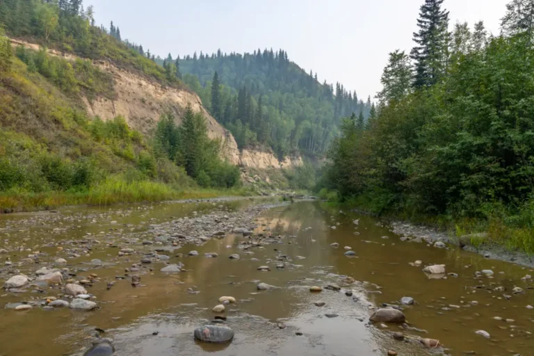
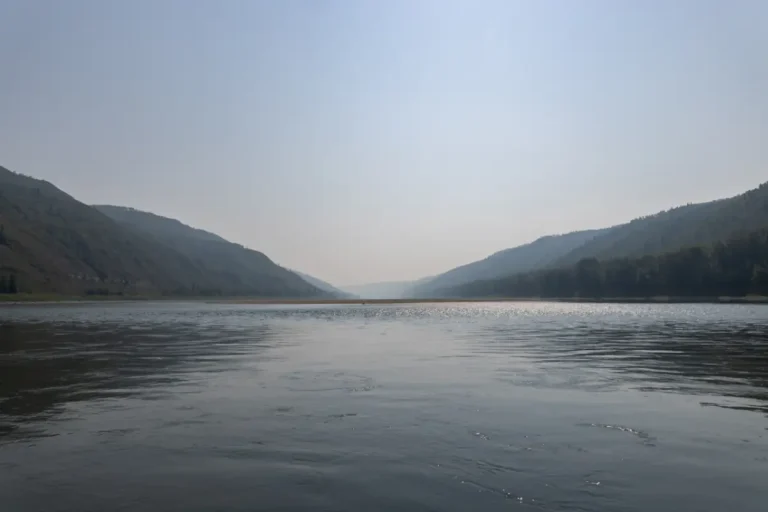
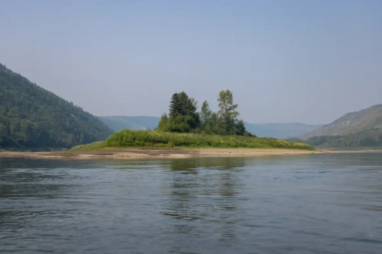
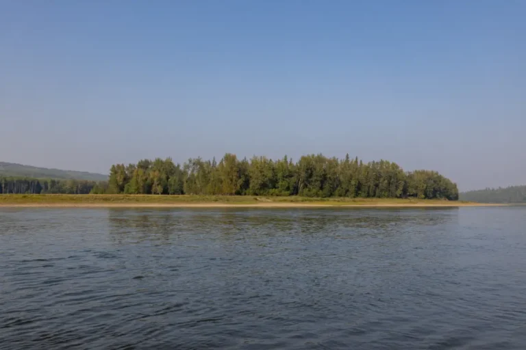
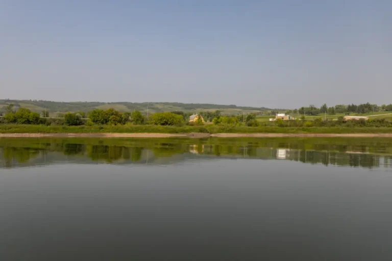
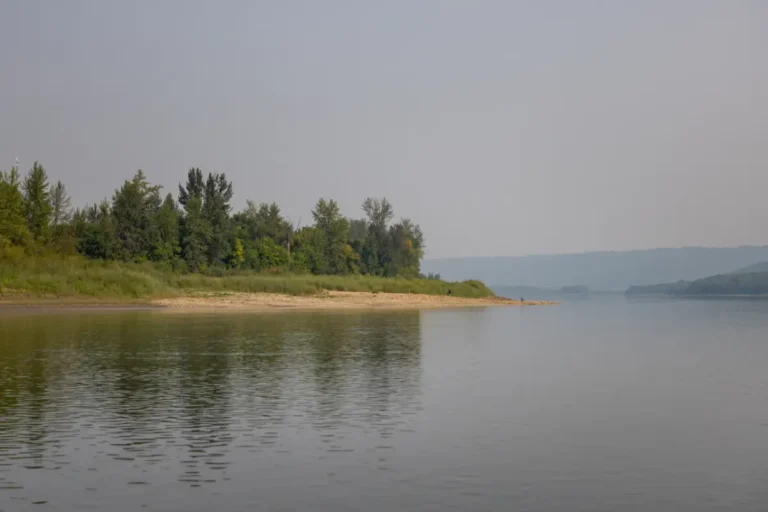
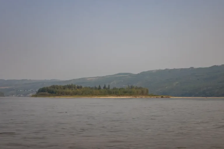
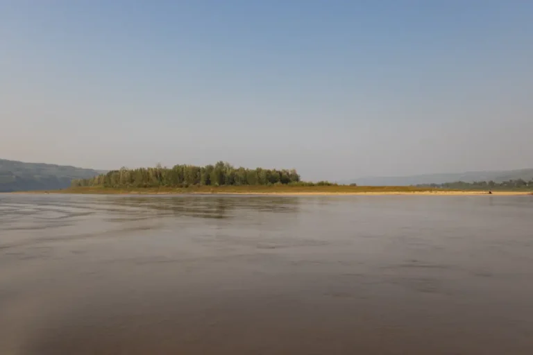
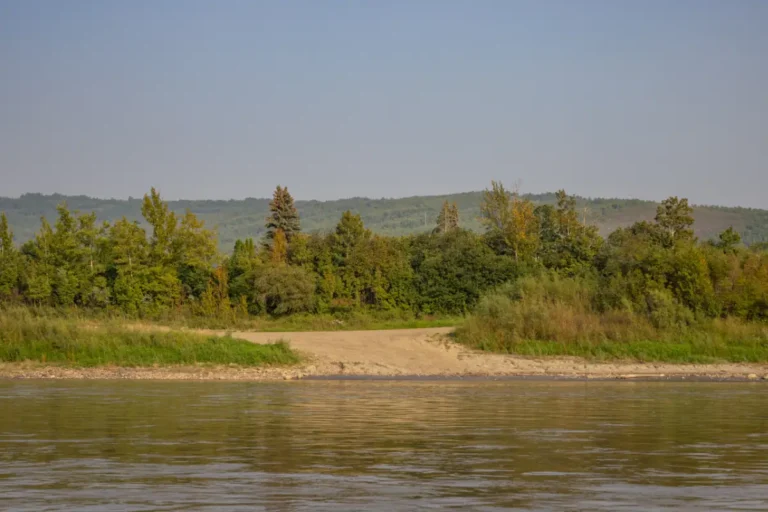
PEACE RIVER
MAP/GUIDE FOR RIVER TRAVEL
Navigate Your Adventure Along Peace River
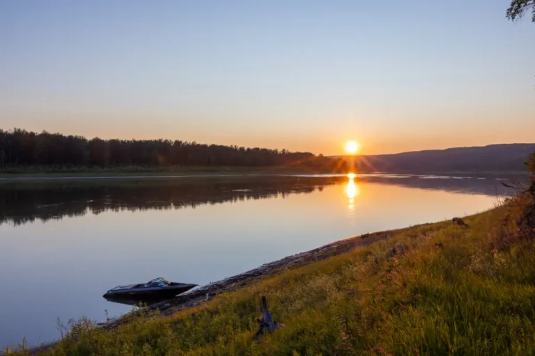
Welcome to the Peace River Boat Guide, your gateway to exploring the serene beauty and hidden gems nestled along the meandering path of the Peace River. Embark on a journey of discovery as you navigate through our interactive trip planning tool, where you can seamlessly integrate points of interest and create an itinerary tailored to your interests. Whether you're a nature enthusiast, history buff, or simply seeking a peaceful escape, let us be your compass as you embark on an unforgettable expedition along Peace River.
If you would like to purchase a printed copy of Mighty Peace Tourism's River Guide, contact us at admin@mightypeace.com. Our guides are printed on durable, water-resistant, and tear-proof paper—built to withstand your adventures.
Get the Guide & Start Exploring
Create Your Itinerary!
Create your own "Trip Lists" when viewing the River Stops below. Follow these easy steps and get started today!Step 1: Register an Account (Optional)
Create your website account so you can create, save and share your trips. Register >
Step 2: View Our River Stops
Explore the River Stops below and find your favourites.
Step 3: Look for The Icon
![]()
Find the "add to list" icon to add a River Stop to your collection.
Step 4: View Your River Stop Collection
Log back into the website at any time to view or edit your collection of river stops. On the "Trip Lists" page you will see your own private lists as well as public lists. View Lists >
ABOUT THIS GUIDE
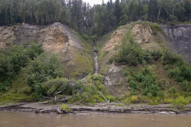
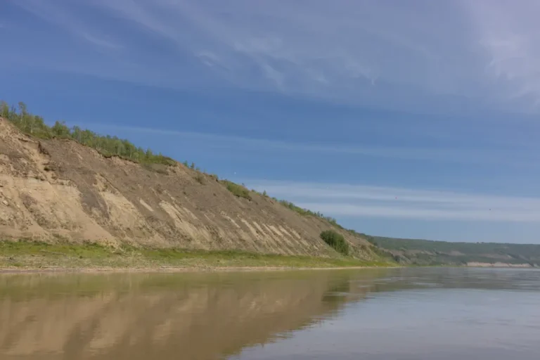
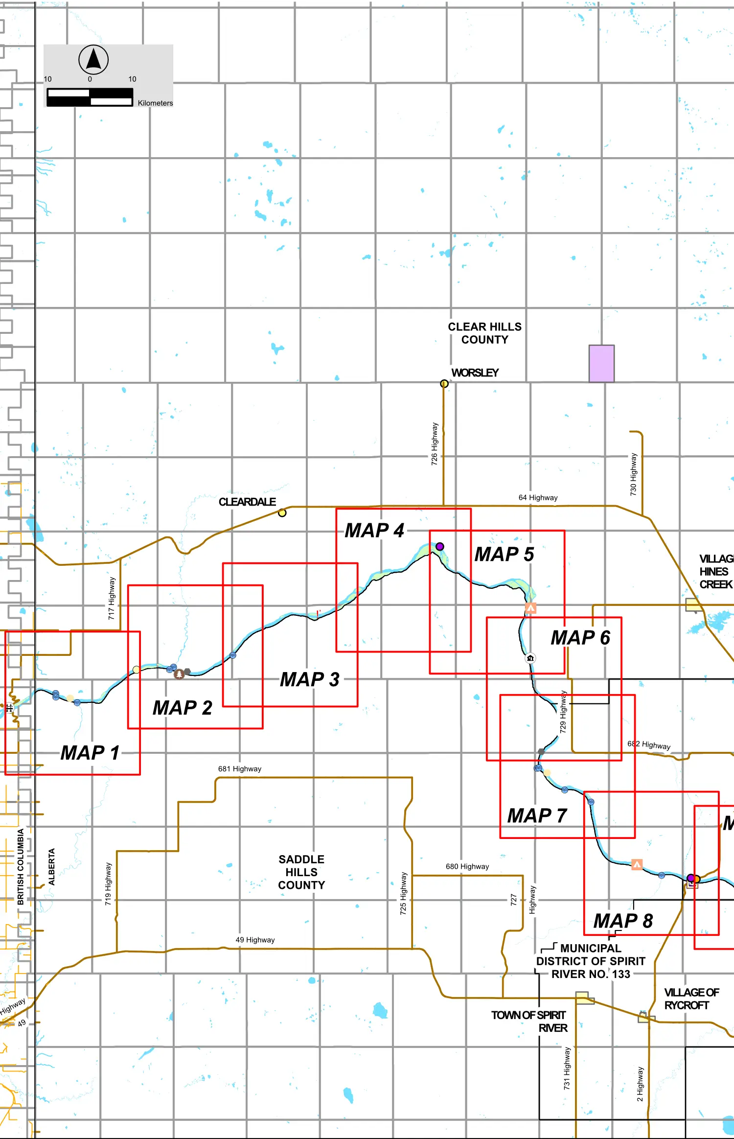
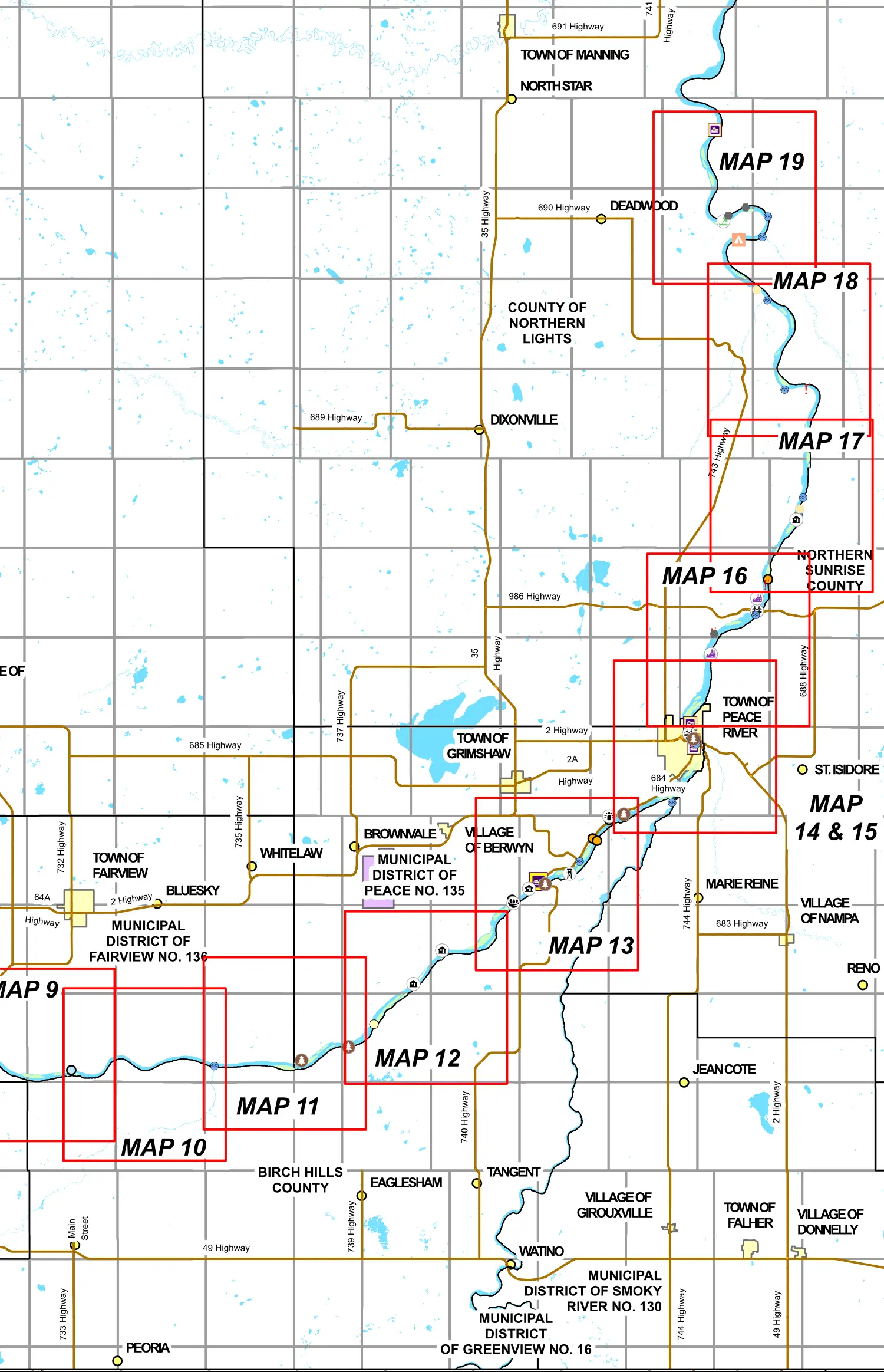
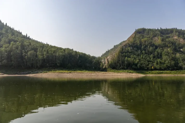
All maps throughout the guide have been developed by Explore Inc. When planning a trip on the river the Peace River Boating Association, based out of the Town of Peace River, and the Dunvegan River Rats, based out of the MD of Fairview are excellent groups to contact if you need assistance in planning or prepping your river excursion.
The Peace River Boating Association is an excellent resource for those wanting to experience the river firsthand. This committed group of locals are always eager to assist boating enthusiasts in any way that they can. Known for organizing and supporting the Peace River Gold Cup jet boat races, this association is a wealth of knowledge when it comes to travelling on the scenic Peace River.
Peace River BC County
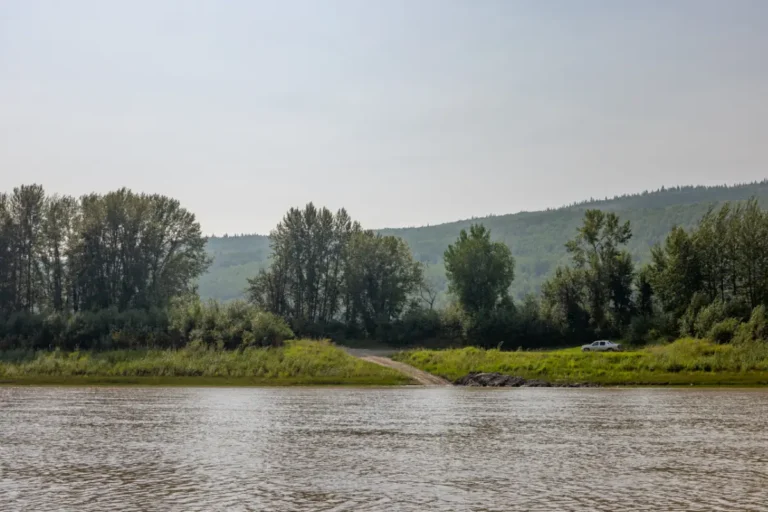
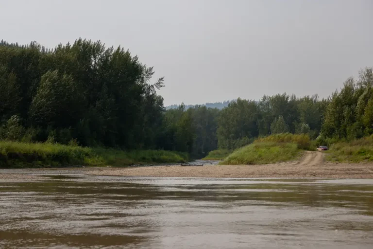
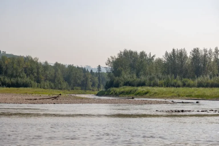
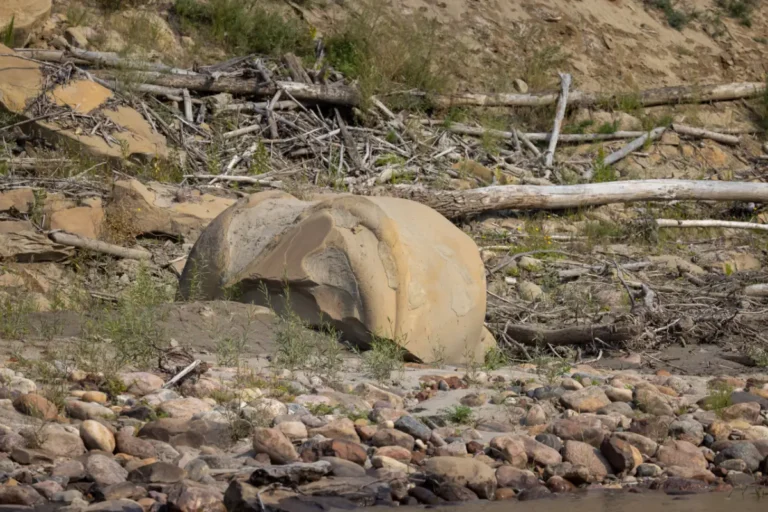
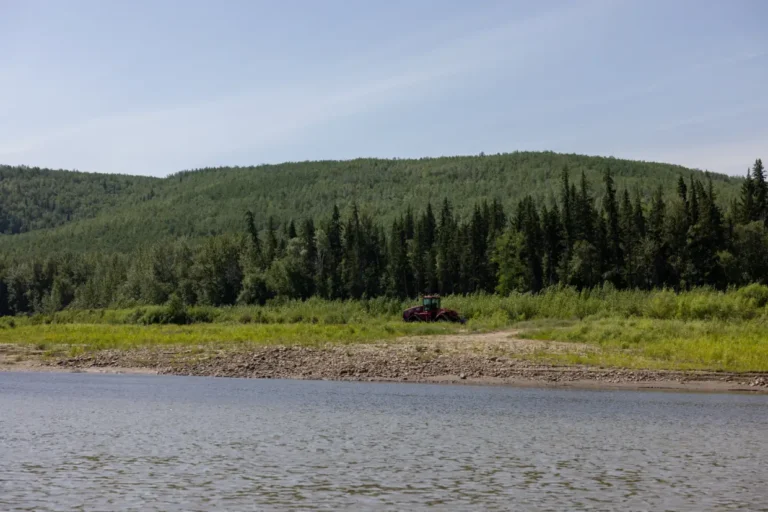
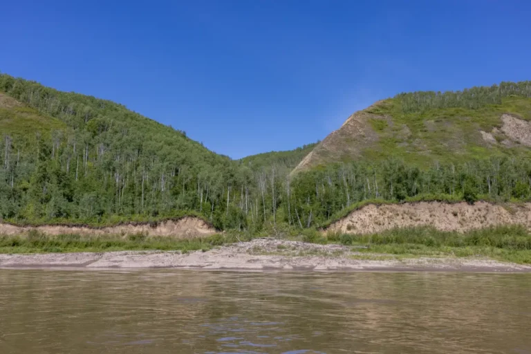
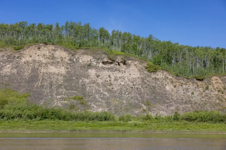
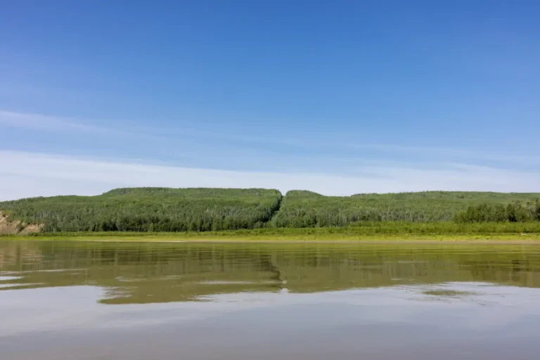
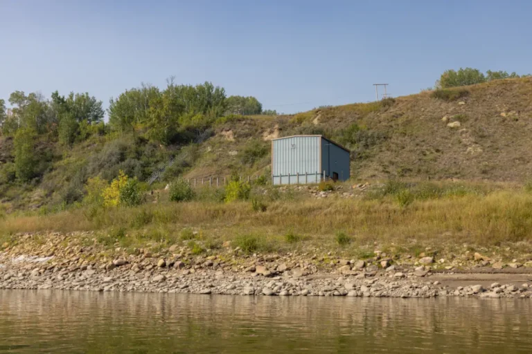
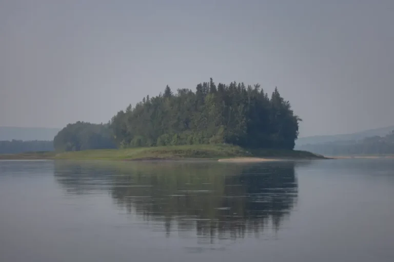
River Guide Stops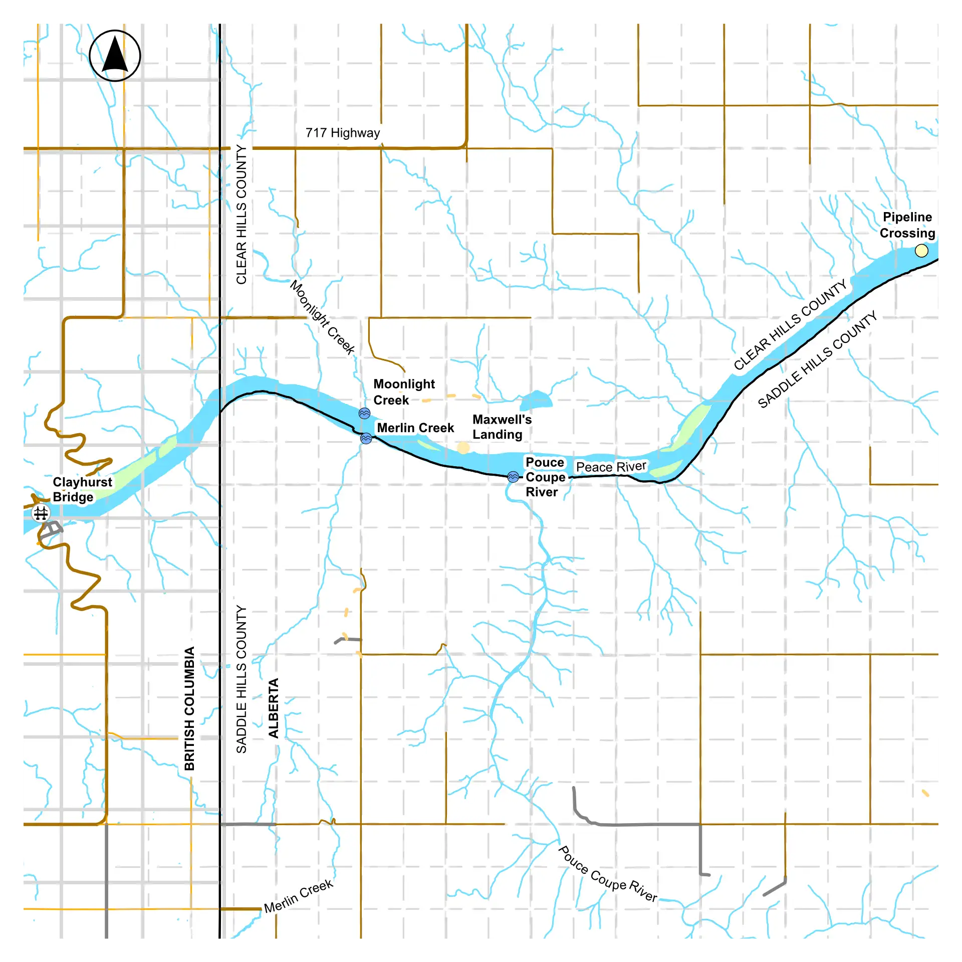
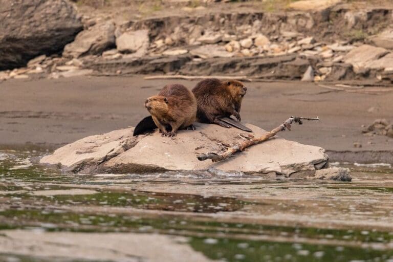
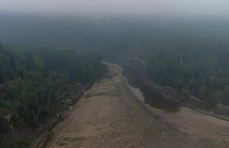
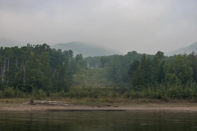
Clear Hills County
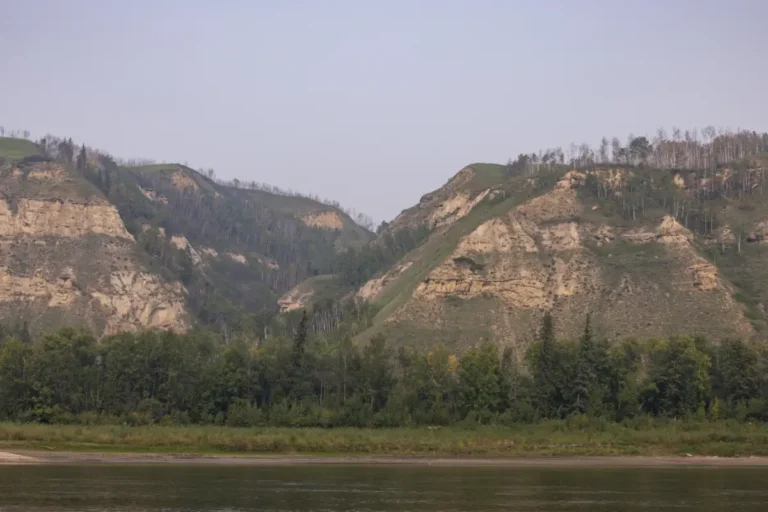
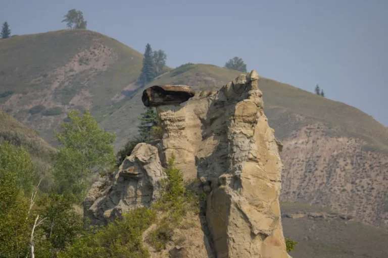
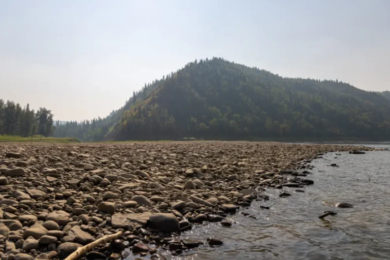
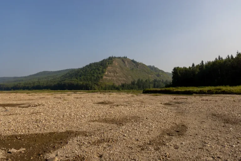
River Guide StopsSituated along the British Columbia border, extending north to the Clear Hills, and dipping down to the mighty Peace River at its southern border, Clear Hills County is full of incredible recreational activities to enjoy year-round. Home to several small communities, along with miles of untouched wilderness, this area is ideal for those who love to get outside and explore.
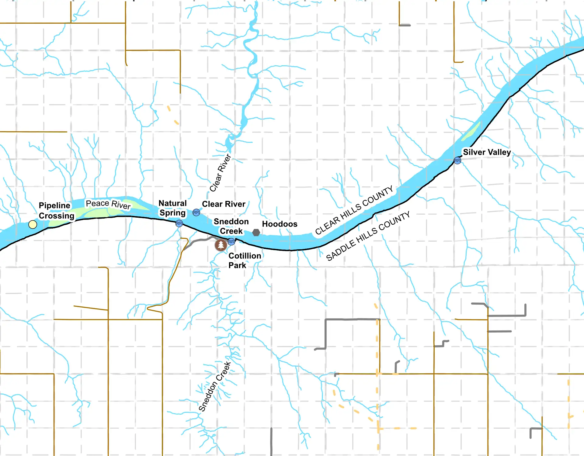
Saddle Hills County
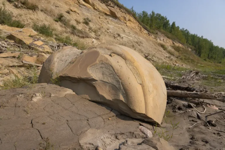
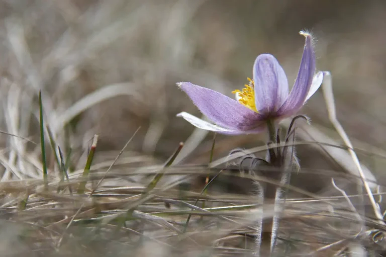
River Guide StopsKnown for having geological wonders where prehistoric fossils have been found, as well as being a prime location for immersing yourself in nature, culture, and adventure, Saddle Hills County has something for everyone. This rural farming community consistently provides locals and out of towners with plenty of ways to enjoy and experience what the area has to offer.


MD of Fairview
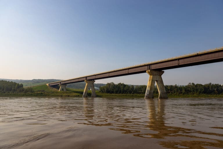
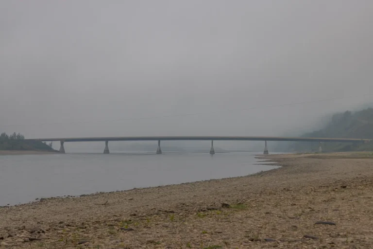
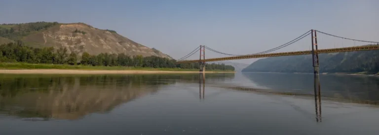
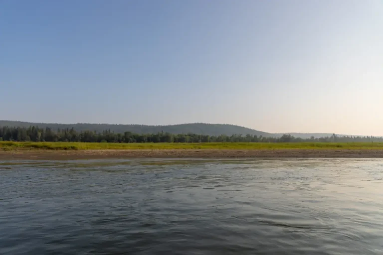
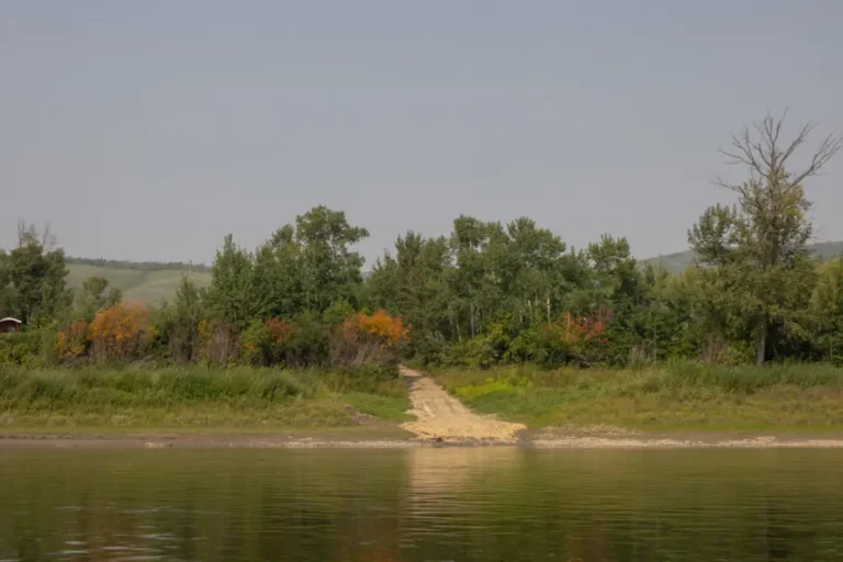
River Guide StopsFull of history and known for being the home of the iconic Dunvegan Bridge, the MD of Fairview offers gorgeous scenery, miles of agricultural land, tons of outdoor recreational activities, and one of a kind, locally owned businesses. It’s easy to find year round entertainment and areas to explore while you’re here.
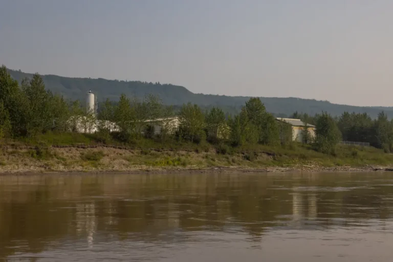
MD of Peace
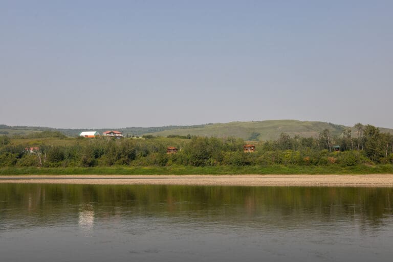
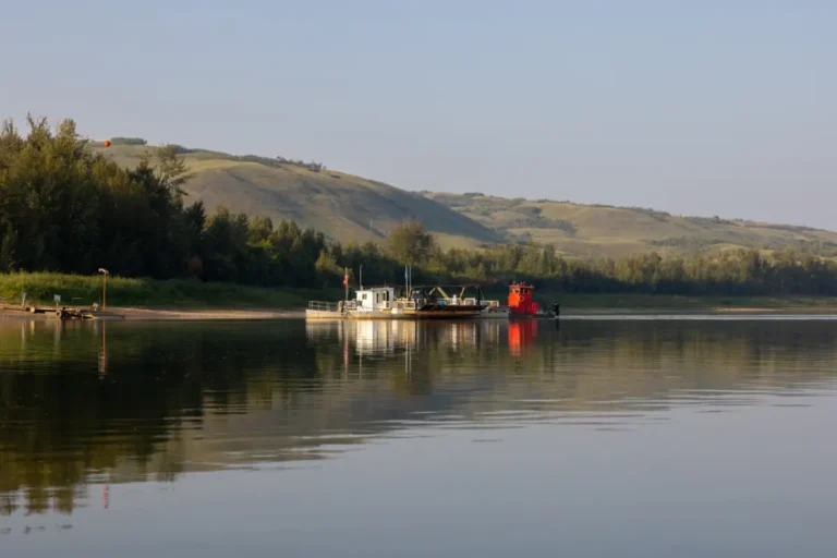
River Guide StopsThe perfect place for a northern getaway, the MD of Peace has beautiful rolling hills, scenic lakes, and some of the best views of the river valley. With museums, parks, campgrounds, and the provincially known Shaftesbury Ferry, this section of the Mighty Peace is home to many events, activities, and areas to explore.
Birch Hills County
River Guide StopsWith the Peace River to the north and the Smoky River to the east, Birch Hills County draws people in from near and far with many year-round attractions, thrilling outdoor adventures, and experiences that cater to all ages and interests. Offering cultural events, picturesque landscapes, and amazing dining experiences, you will be able to completely enjoy yourself while visiting this area.


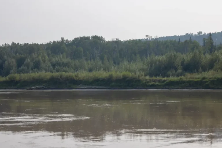
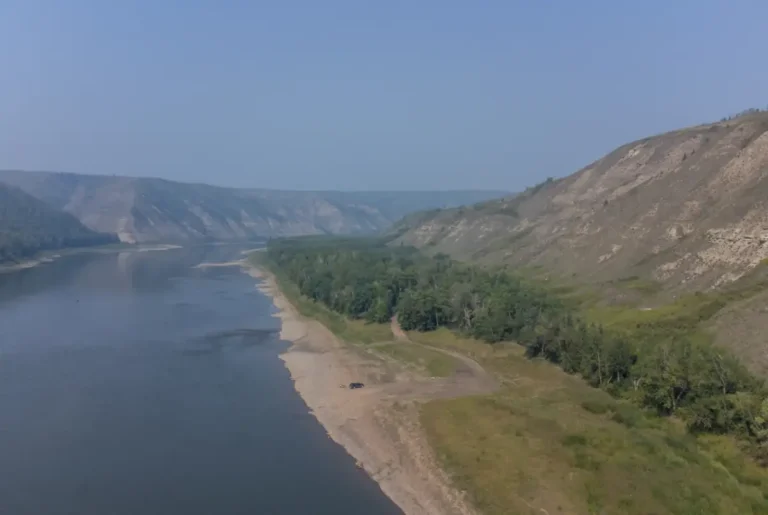
Shaftesbury Trail
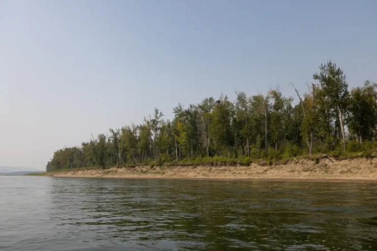
River Guide StopsExtending along the Peace River for approximately 26 km, the Shaftesbury Trail highway provides a beautiful and scenic drive in every season. With plenty of historical stops along the way to visit, such as the Mackenzie Cairn, Fort Fork, and the St. Augustine’s Mission, this highway also runs by the Strong Creek Park, market gardens, and ends at the amazing Shaftesbury Ferry. This relaxing and interesting portion of the Mighty Peace is a must see!
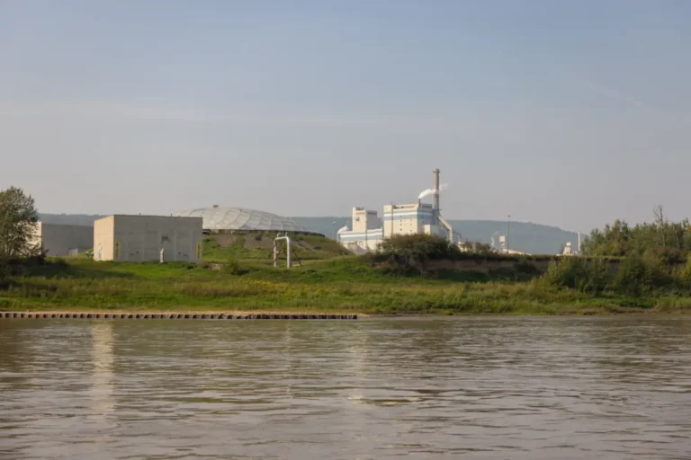
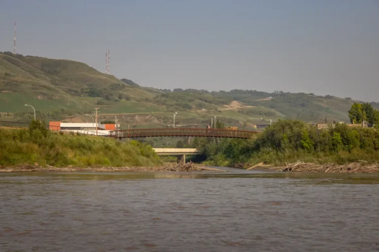
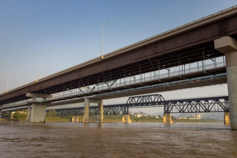
Town of Peace River
River Guide Stops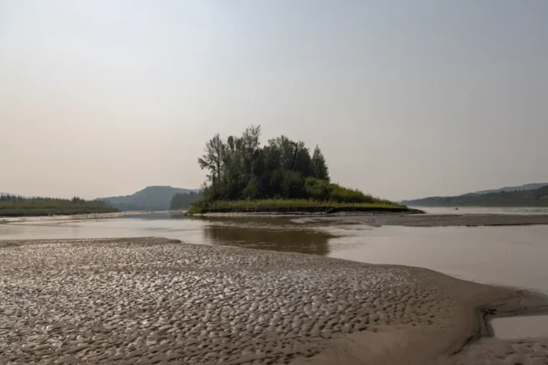

County of Northern Sunrise
River Guide Stops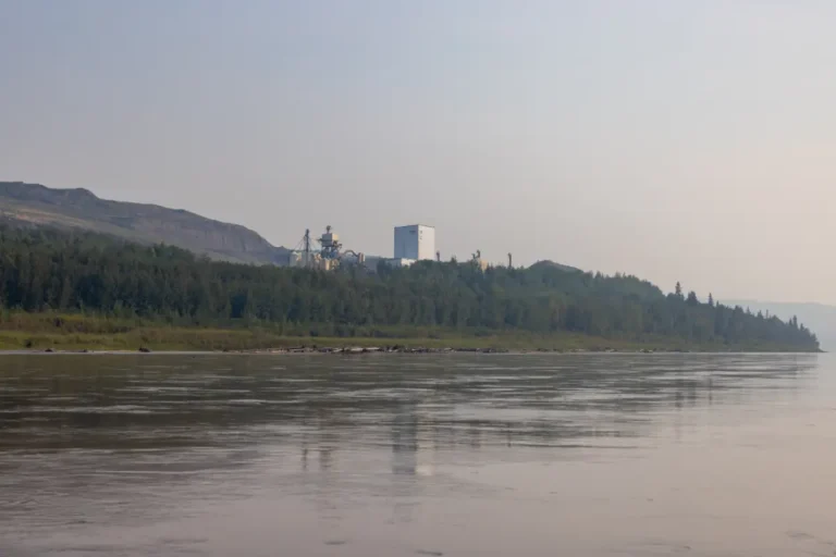
County of Northern Lights
River Guide Stops